
Arrow Aerial · Kentucky & Southern Indiana
Construction Drone Photography Across Kentucky & Indiana
Scheduled progress photos, video and measurable maps for contractors, developers and industrial owners. One FAA Part 107 licensed, insured pilot, the same angles every visit, and edited photos in 24 to 48 hours.
5.0 from 75 Google reviews
Built for the people who build
See the whole job. Every visit. From the same spot.
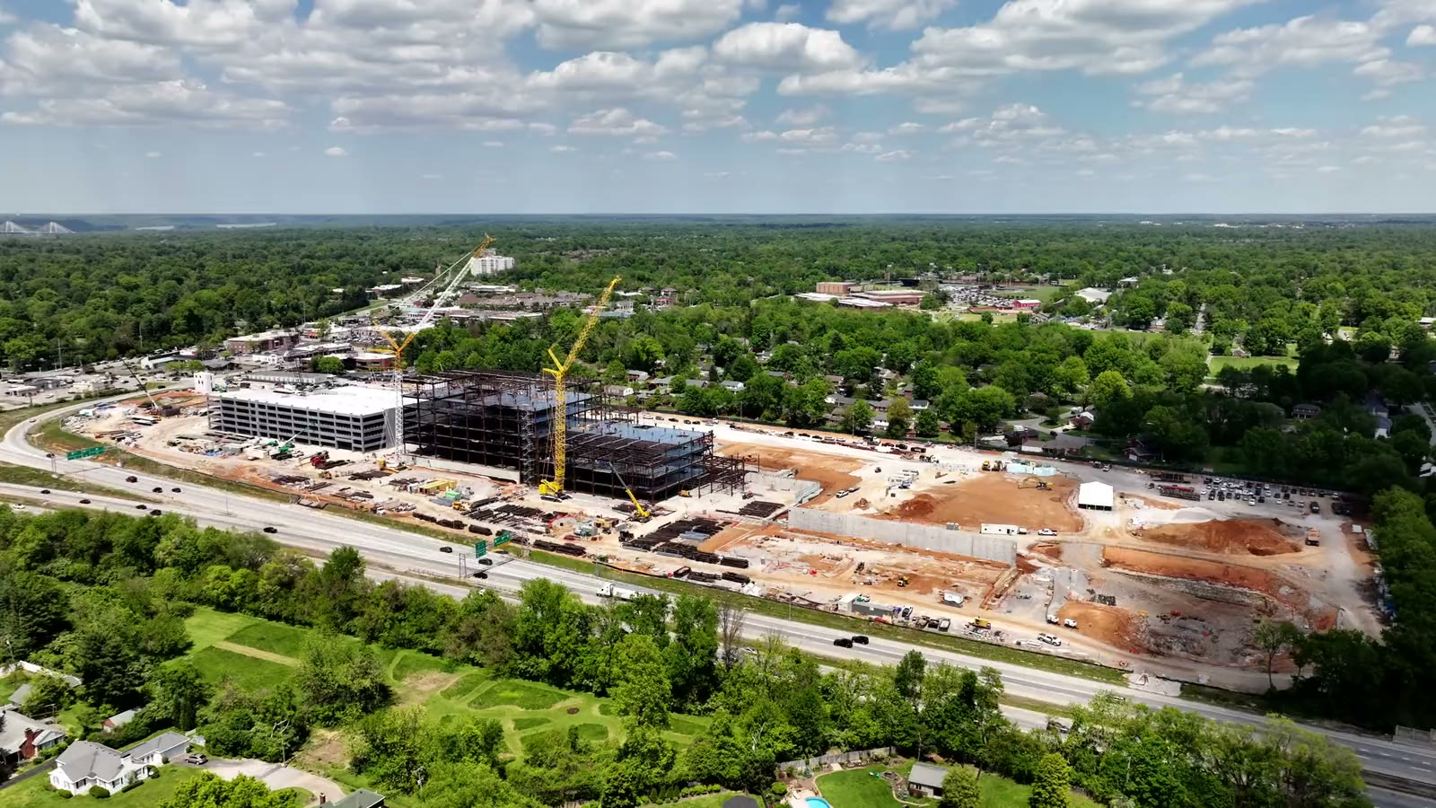
A job site is hard to explain from the ground. From the air it becomes one picture: the pad, the steel, the laydown yard, the access roads and the neighbors, all in relation to each other.
Arrow Aerial documents construction and commercial property for general contractors, developers, owner's representatives and industrial owners across Kentucky and Southern Indiana. Every visit is flown from the same positions and heights, edited before delivery and handed over as a dated set your whole team can use.
- Recurring schedules: weekly, bi-weekly, monthly or by milestone
- Progress photos, video and orthomosaic maps from one visit
- Full commercial usage rights on every job
- You talk to the pilot, from the first call to the last file
What I fly
Aerial services for construction and commercial work
Five services, one pilot, one clear quote for the whole scope. Photos, video and mapping can be scoped together in one visit.

Construction Progress Photography
The same positions, heights and headings every visit, so month six lines up with month one. Edited photos in 24 to 48 hours.
Progress photos
Construction Progress Video
Short, dated video updates from the air and the ground, and a finished film of the whole build at the end.
Progress video
Drone Mapping & 3D Models
Orthomosaic maps, 3D models and elevation layers your team can measure on, flown on a schedule or once.
Mapping
Commercial & Industrial
Plants, quarries, warehouses and campuses from above, from the ground and from inside, with the operation running.
Industrial work
Land & Development Sites
Development ground and large tracts with approximate parcel outlines, acreage labels and the context buyers ask about.
Land workBy the numbers
Proof you can measure
A few figures from published projects, not marketing estimates.
Case study
One site, mapped every month for two years
Since the summer of 2024 the new Louisville VA Medical Center site has been flown every month for Walsh Construction. Each flight becomes one measurable orthomosaic of the whole 40-acre project. Drag the handle to go from June 2024 to July 2026.


Why teams choose Arrow Aerial
Documentation that holds up in the owner meeting
The same angles, every visit
Positions, heights and headings are set on the first flight and repeated, so any two months can be compared side by side.
Edited, not just flown
Every photo is color-corrected and straightened, and every video is cut, before it reaches you. Photos up to 48 MP, video up to 5.1K.
Airspace handled
FAA Part 107 licensed and insured. Controlled airspace is checked and authorizations requested before the flight date.
A plan for weather
When wind or rain rules out a visit, I arrange the next safe window and keep you informed.
One pilot, start to finish
The person who quotes the job flies it, edits it and answers the phone. No handoffs, no subcontractors.
Files you can actually use
Download links after each visit, organized by date, with full commercial usage rights for reports, proposals and marketing.
Watch
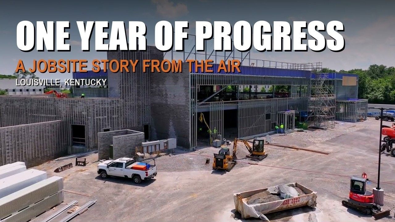
A year of progress in a few minutes
Monthly drone flights over one Louisville job site, cut into a single film: groundbreaking, structure, enclosure and finish.
Films like this come out of the same visits as the progress photos. The owner gets a record, the contractor gets marketing, and nobody had to schedule a second crew.
Process
From first call to finished files
Five steps, and you only have to do the first one.
Send the site
Address or pin, what you need and how often. A plat or site plan helps for mapping and land.
One clear quote
A single price for the whole scope, with the schedule and delivery dates written down.
Airspace & schedule
Airspace checked, FAA authorizations requested where needed, first flight on the calendar.
Fly the site
Planned positions and heights, repeated every visit. Ground photos on the same trip when you need them.
Edit & deliver
Photos in 24 to 48 hours, video in 48 to 72, by download link, dated and ready to share.
Coverage
Kentucky and Southern Indiana, and farther when a job calls for it
Based in Louisville, flying job sites from Evansville to the Mountain Parkway.
Every orange dot is a place with published work: construction sites in Elizabethtown and Southern Indiana, a quarry in Shepherdsville, an industrial campus near Brandenburg, land listings in Leitchfield and West Point, and river towns from Henderson to New Albany.
Google reviews
What clients say
Straight from Google, where the business is listed as Aerial & Drone Photography Louisville, the same pilot and the same company.
Shaun was fast to respond to my inquiry for a project that needed to be shot. His photos and video were fantastic -- and he edited the content for us!
Shaun is the best at what he does. He has helped me with numerous aerial photos and videos of our properties. He is great at editing, too. He's reachable and gets to work quickly, regardless of the circumstance. For example, when River Road flooded, we had a property we wanted to see in order to appraise damage - Shaun worked with me to devise a solution to get a drone close enough the see the imp...
I had Shaun do aerials and ground shots for a Chipotle property out in Louisville. Shaun crushed the photos and got all the angles we were looking for and provided high quality images. To top it all off, he delivered us the final product on the same day he took the photos. To any commercial real estate professionals looking for a photographer in Lousiville area, I highly recommend working with Shaun.

Aerial Photography Louisville
Selling a home or photographing a Louisville property? Real estate, residential and Louisville-area aerial work lives at Aerial Photography Louisville, run by the same pilot.
Questions
Quick answers
Who is Arrow Aerial?
Arrow Aerial is Shaun Wilson's drone and aerial imaging company in Louisville, Kentucky. Shaun has worked in media since 2000 and has flown professionally since 2014. Arrow Aerial is also the company behind Aerial Photography Louisville, which covers real estate and residential work in the Louisville area.
Do you only work in Louisville?
No. Arrow Aerial flies job sites across Kentucky and Southern Indiana, from Evansville and Owensboro to Lexington and the Mountain Parkway, and travels farther for larger commercial projects. Travel is part of the quote you get before anything is booked. See the coverage map.
How fast do we get the files?
Edited photos typically arrive within 24 to 48 hours of the flight and edited video within 48 to 72 hours, delivered by download link. Your quote confirms the delivery date before the first flight.
Are you licensed and insured?
Yes. Every flight is flown by an FAA Part 107 licensed remote pilot, and the business is fully insured. Airspace is checked and any FAA authorization is requested before the flight.
Next step
Put your next build on a schedule
Send the site, the start date and how often you want updates. You will get the angles, the cadence and one clear price for the whole job.
