
- Home
- Coverage
Coverage area
Kentucky & Southern Indiana Drone Services
Based in Louisville and flying job sites across the Commonwealth and the Indiana side of the Ohio River, with travel farther for larger commercial projects.
Where I fly
One pilot, one region, a lot of ground
Every orange dot on the map is a place with published work, not a place name added for search.
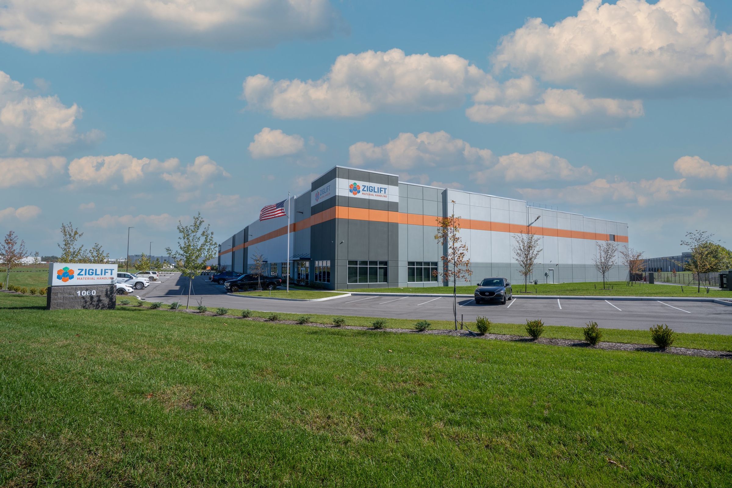
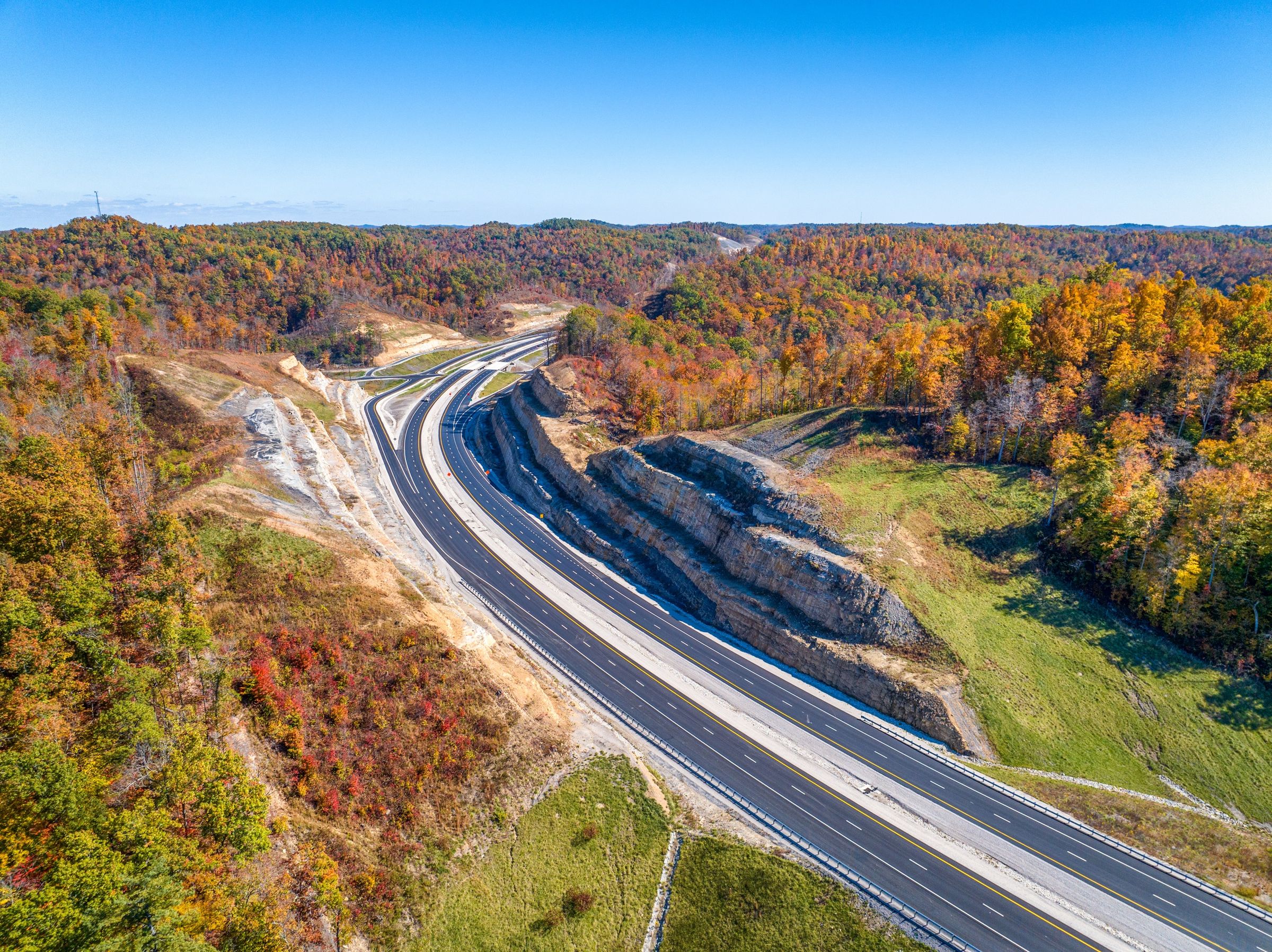
Construction progress in Elizabethtown and Southern Indiana, a limestone quarry in Shepherdsville, an industrial campus near Brandenburg, land listings in Leitchfield and West Point, a 500-acre property in Starlight and road work on the Mountain Parkway. Bowling Green, Frankfort and Northern Kentucky are regular travel.
Regions
Where the work has been
Louisville & Southern Indiana
Home base, and the Indiana side of the river: interchanges, riverfront builds, retail and industrial parks.
- Louisville
- Jeffersonville
- Clarksville
- New Albany
- Starlight
Central Kentucky
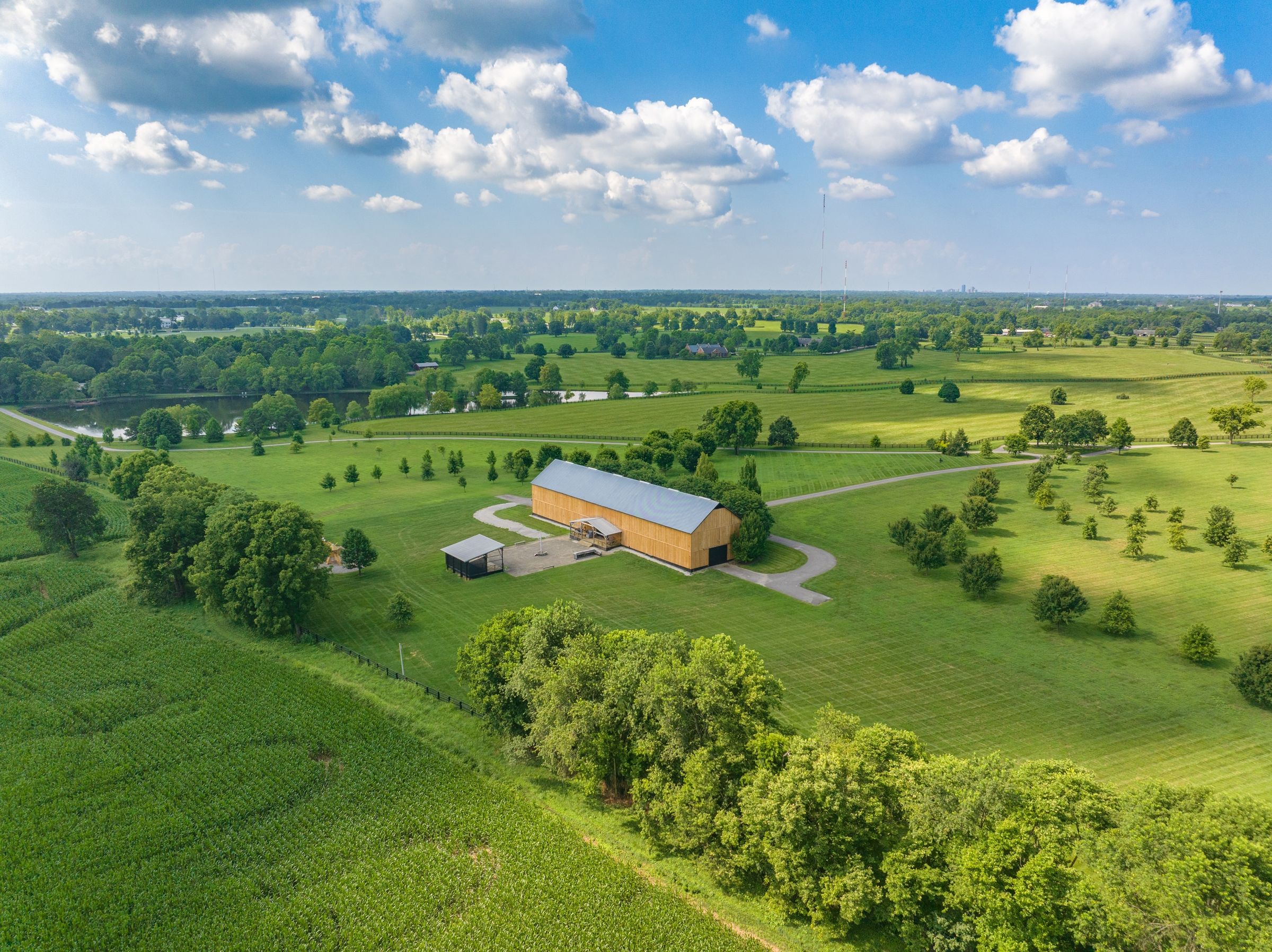
Lexington, the capital and the bourbon country between them.
- Lexington
- Frankfort
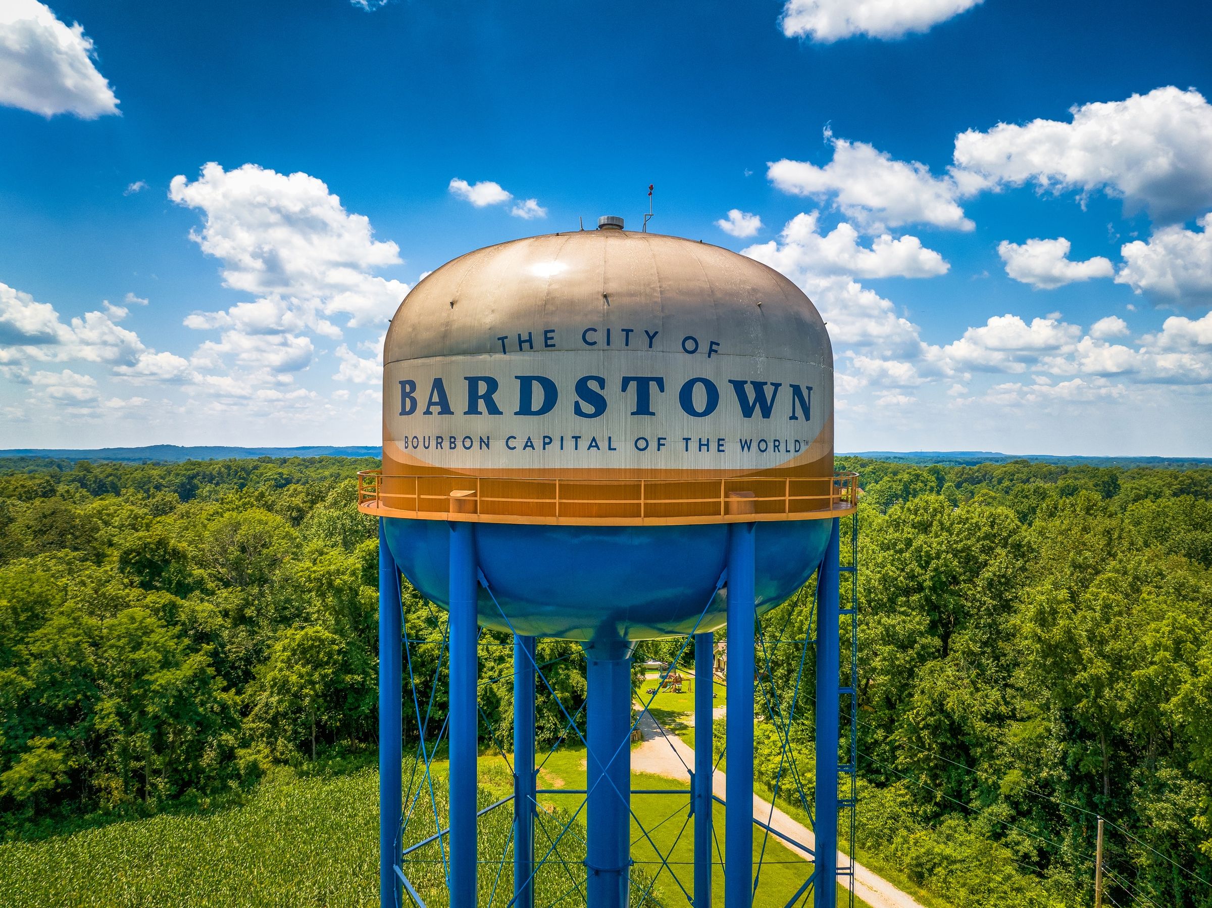
- Bardstown
- Taylorsville
Hardin, Bullitt & Meade
The growth corridor south and west of Louisville: medical, industrial and quarry work.
- Elizabethtown
- Shepherdsville
- Brandenburg
- West Point
Western Kentucky & the Ohio River
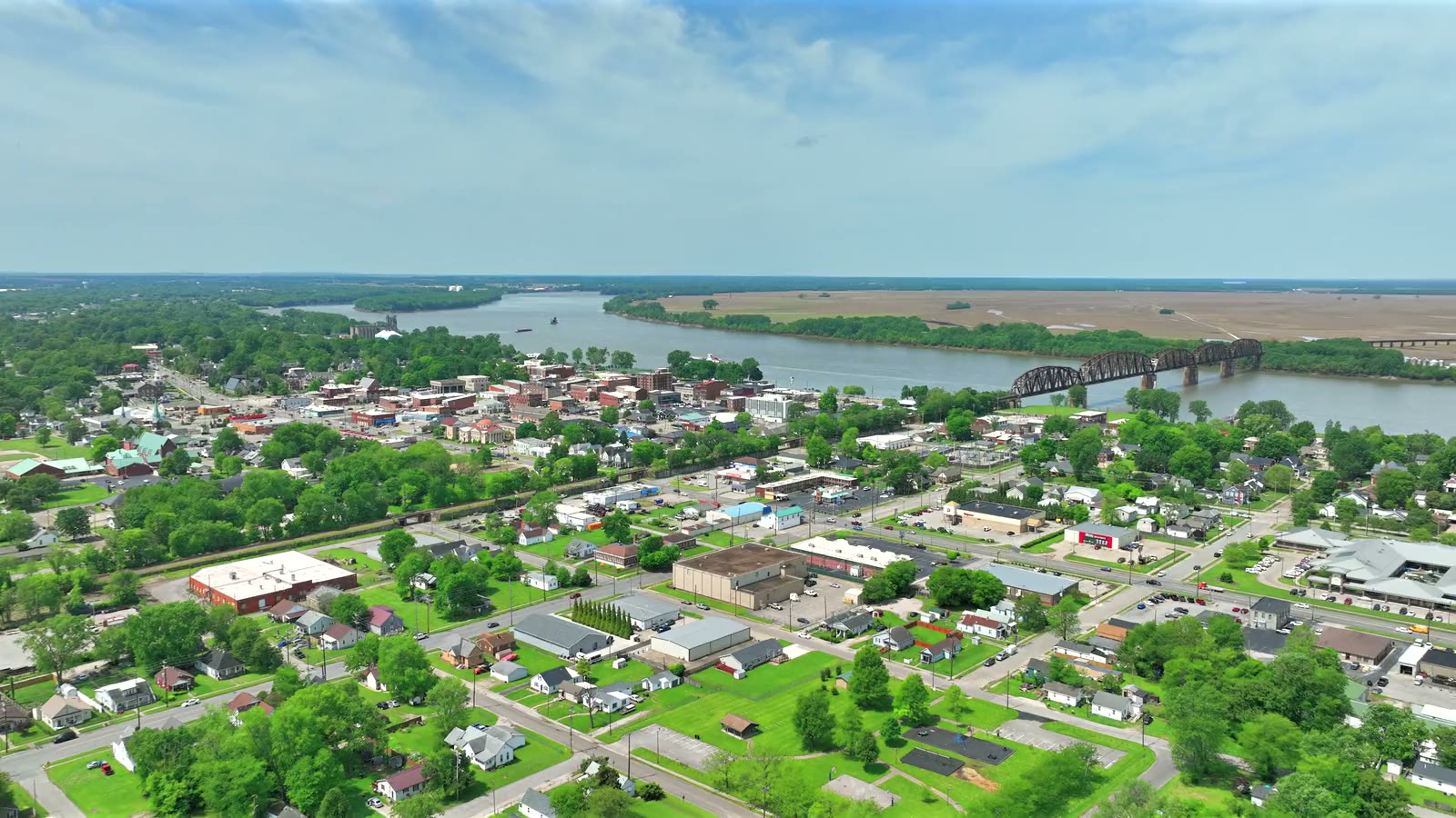
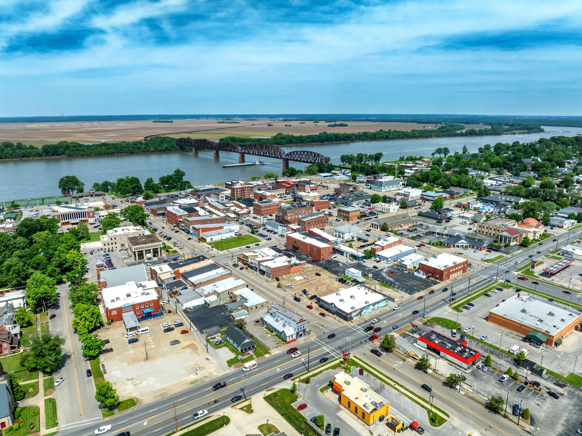
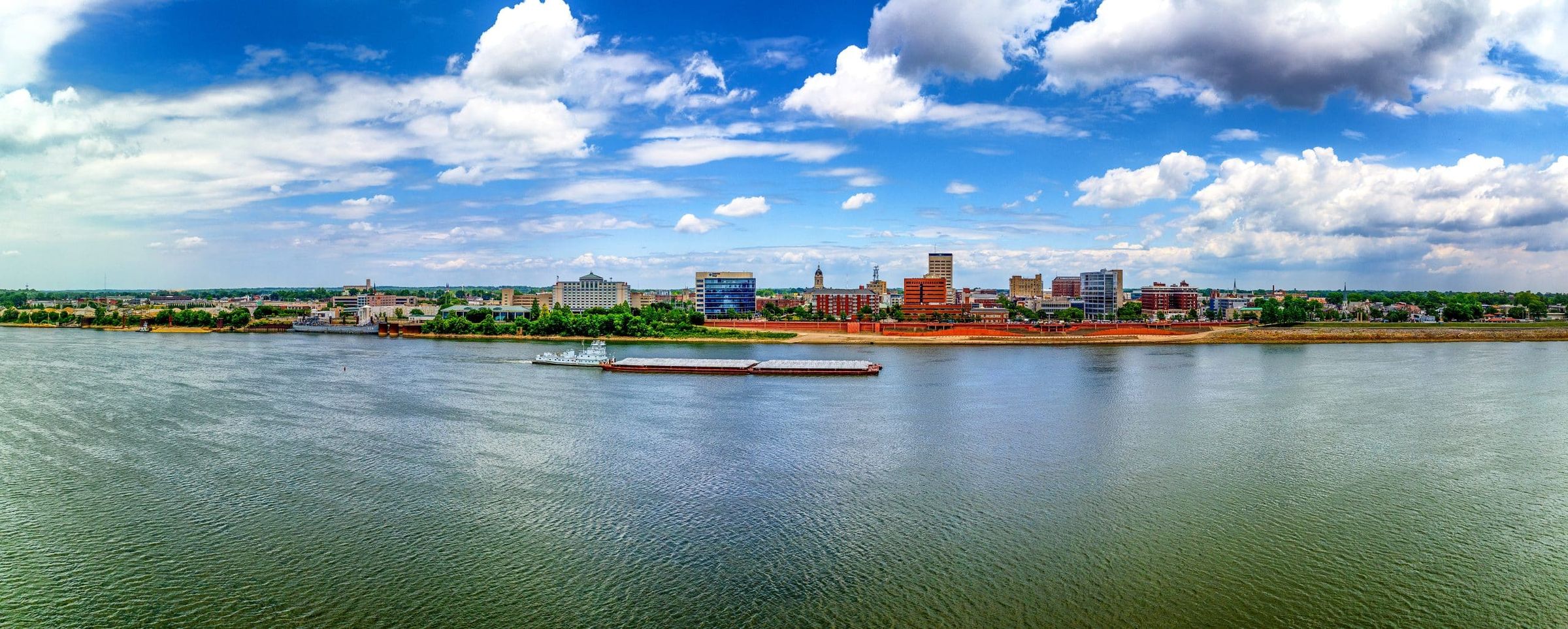
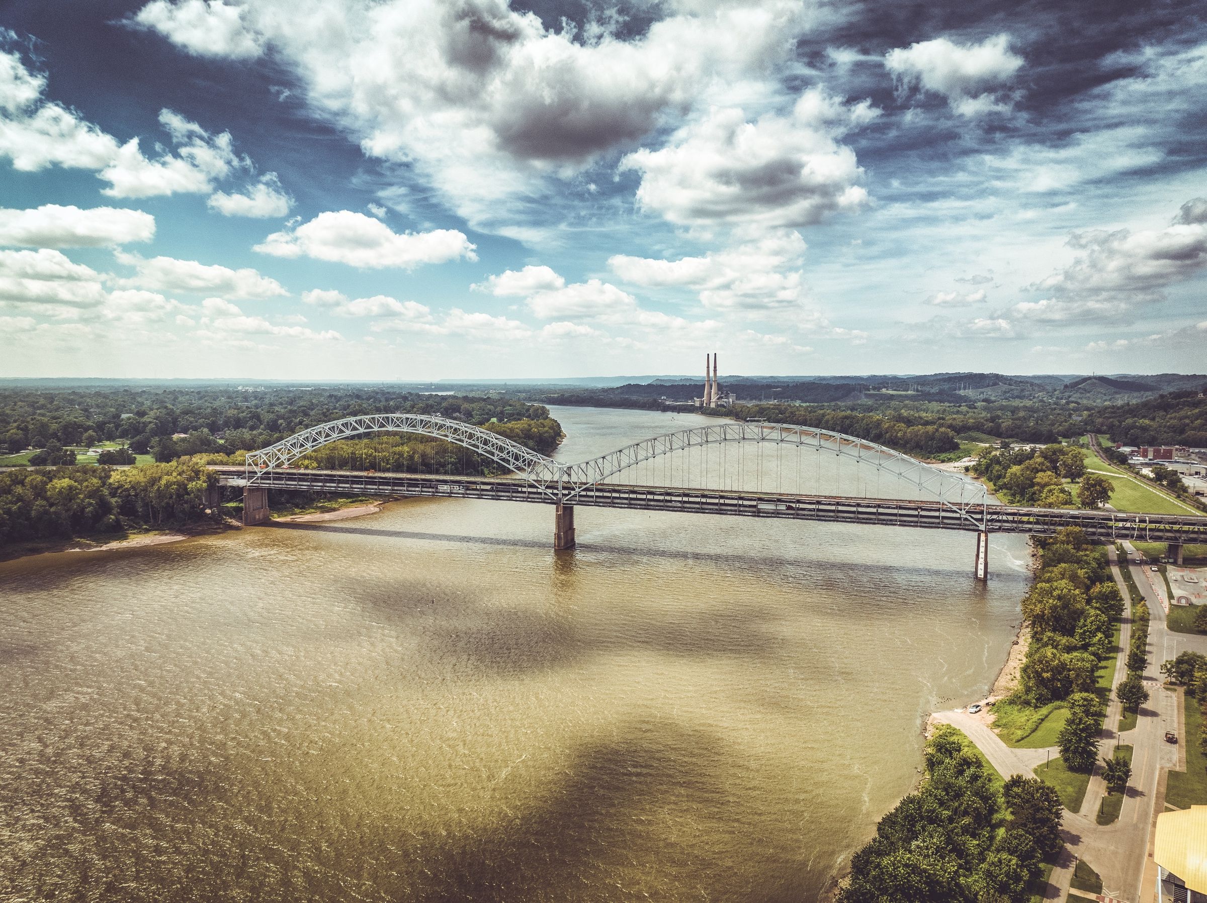
River towns, plants and development land from Owensboro to Evansville.
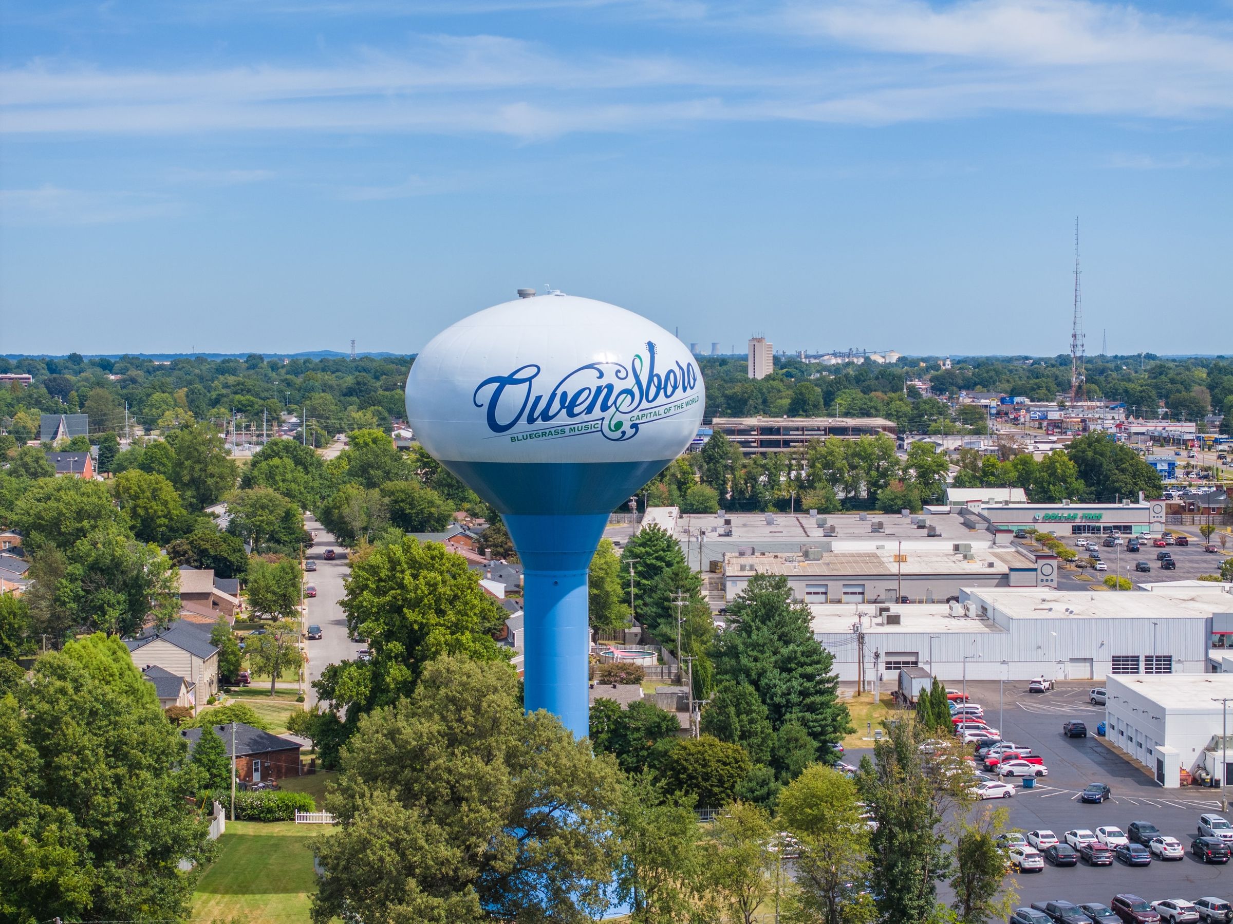
- Owensboro
- Henderson
- Evansville
- Leitchfield
South Central Kentucky
Regular travel for commercial and construction projects.
- Bowling Green
Eastern & Northern Kentucky
Road work in the hills, and regular travel north toward Cincinnati.
- Mountain Parkway
- Northern Kentucky


Beyond the region
Larger projects travel
For larger commercial projects, construction documentation and scheduled mapping, work extends through the Southeast and Midwest. The first conversation settles the schedule, the travel and one price for the whole job.
Where a drone is restricted or the job needs a much higher, wider view across several sites, helicopter aerials are an option, subject to that airspace's own clearances.
Questions
Coverage questions
Do you charge for travel?
Travel is part of the quote you get before anything is booked, based on where the site is and how often it is flown. There are no surprise add-ons after the flight.
How far will you travel?
Kentucky and Southern Indiana are regular ground. For larger commercial projects, construction documentation and scheduled mapping, work extends into the Southeast and Midwest.
Can you fly near airports?
Often, yes. Near airports the FAA grants authorization for limited altitudes, and I check the airspace and request it before the flight. Send the site location first and you will know what is possible.
Do you fly Louisville too?
Yes. Louisville is home base. Arrow Aerial covers construction and commercial work here, and Aerial Photography Louisville handles real estate and residential work in the metro.

Aerial Photography Louisville
Real estate or residential aerials in the Louisville metro, or a local town page for your area? Aerial Photography Louisville covers those, with the same pilot behind the camera.
Next step
Building somewhere in the region?
Send the site location. You will know about airspace, schedule and price before anything is booked.
