
- Home
- Services
Aerial photography services
Aerial Photography Services for Business
Drone photography, video and mapping for construction, industrial and development work across Kentucky and Southern Indiana, flown, edited and delivered by one licensed pilot.
Services
Choose what the job needs
Every service below can run once or on a schedule, and most pair up on the same visit. One quote covers the whole scope.

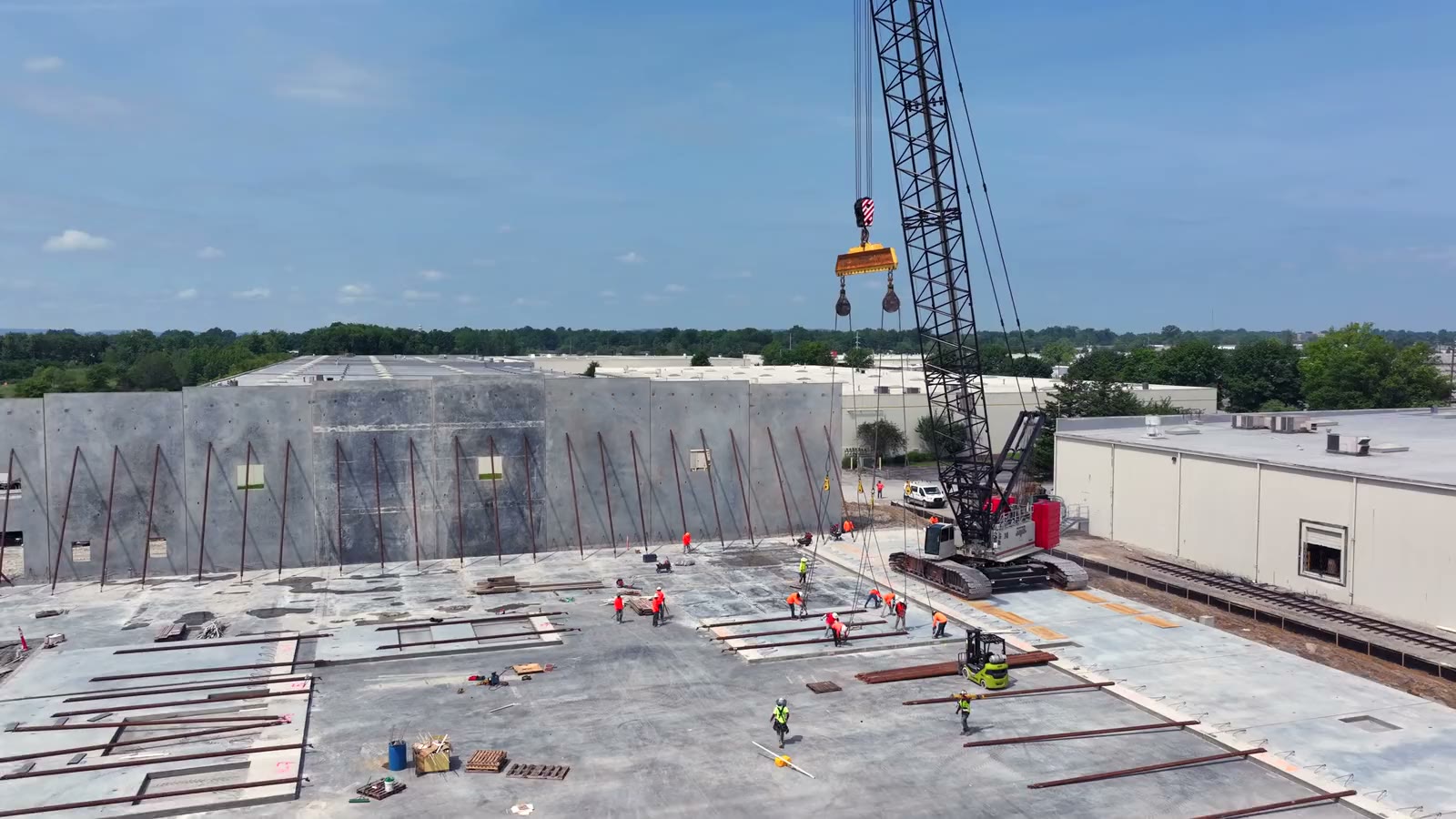
Construction Progress Photography
The same positions, heights and headings every visit, so month six lines up with month one. Edited photos in 24 to 48 hours.
Progress photos
Construction Progress Video
Short, dated video updates from the air and the ground, and a finished film of the whole build at the end.
Progress video
Drone Mapping & 3D Models
Orthomosaic maps, 3D models and elevation layers your team can measure on, flown on a schedule or once.
Mapping
Commercial & Industrial
Plants, quarries, warehouses and campuses from above, from the ground and from inside, with the operation running.
Industrial work
Land & Development Sites
Development ground and large tracts with approximate parcel outlines, acreage labels and the context buyers ask about.
Land work
Also on the same visit
Ground, interior and helicopter work when the drone is not enough
Some jobs need more than a view from above. These are available alongside any service, scoped in the same quote:
- Ground photography and video of exteriors, interiors, machinery and details
- Indoor drone flights through warehouses and plant floors, with the operation running
- Helicopter aerials where a drone is restricted or a much higher, wider view is needed, subject to that airspace's own clearances
- Before-and-after comparisons built from the dated sets
Who it is for
The teams I fly for
General contractors
Progress sets for owner reports, pay applications, schedule reviews and your own marketing when the job is done.
Developers & owner's reps
A dated, independent visual record of where the project stands, shared with lenders, partners and tenants.
Industrial & manufacturing
Plants, quarries and warehouses shown at their real scale, for recruiting, sales, leasing and records.
Brokers & landowners
Development ground and large tracts with approximate outlines, acreage labels and the surrounding context.
Engineers & architects
Orthomosaic maps and 3D models for planning and progress checks, with their limits stated plainly.
Infrastructure contractors
Road, interchange and utility work documented phase by phase, like the I-264 and U.S. 42 interchange in Louisville.
Included on every job
What you can count on
- Pilot
- FAA Part 107 licensed remote pilot, fully insured. The same pilot quotes, flies and edits.
- Airspace
- Checked before booking. FAA authorizations requested when the site needs them.
- Equipment
- Professional drone and camera systems: photos up to 48 MP, video up to 5.1K in Apple ProRes.
- Editing
- Color correction, straightening and cutting before delivery. Nothing goes out raw unless you ask for raw.
- Turnaround
- Edited photos in 24 to 48 hours, edited video in 48 to 72 hours, confirmed in your quote.
- Delivery
- Download link after every visit, organized by date.
- Usage rights
- Full commercial usage rights on every file.
- Price
- One clear quote for the whole scope before anything is booked.

Aerial Photography Louisville
Looking for real estate photography, a home listing or residential aerials in the Louisville area? That work is at Aerial Photography Louisville, same pilot, same standards.

Next step
Tell me about the site
What it is, where it is and what you need delivered. You will get a plan and one price for the whole job.
