
Development ground · Large tracts · Listings
Land & Development Site Aerial Photography
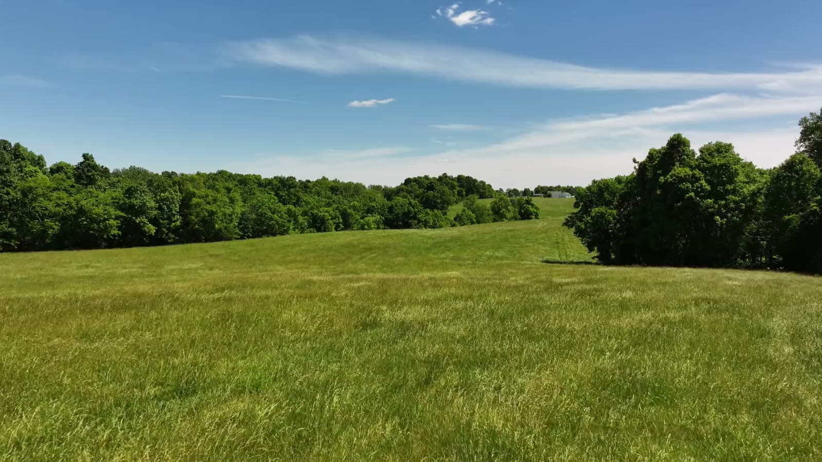
Drone photos and video of development land and large tracts across Kentucky and Southern Indiana, with approximate parcel outlines, acreage labels and the context buyers ask about.

Land aerial photography
You cannot photograph acreage from the road
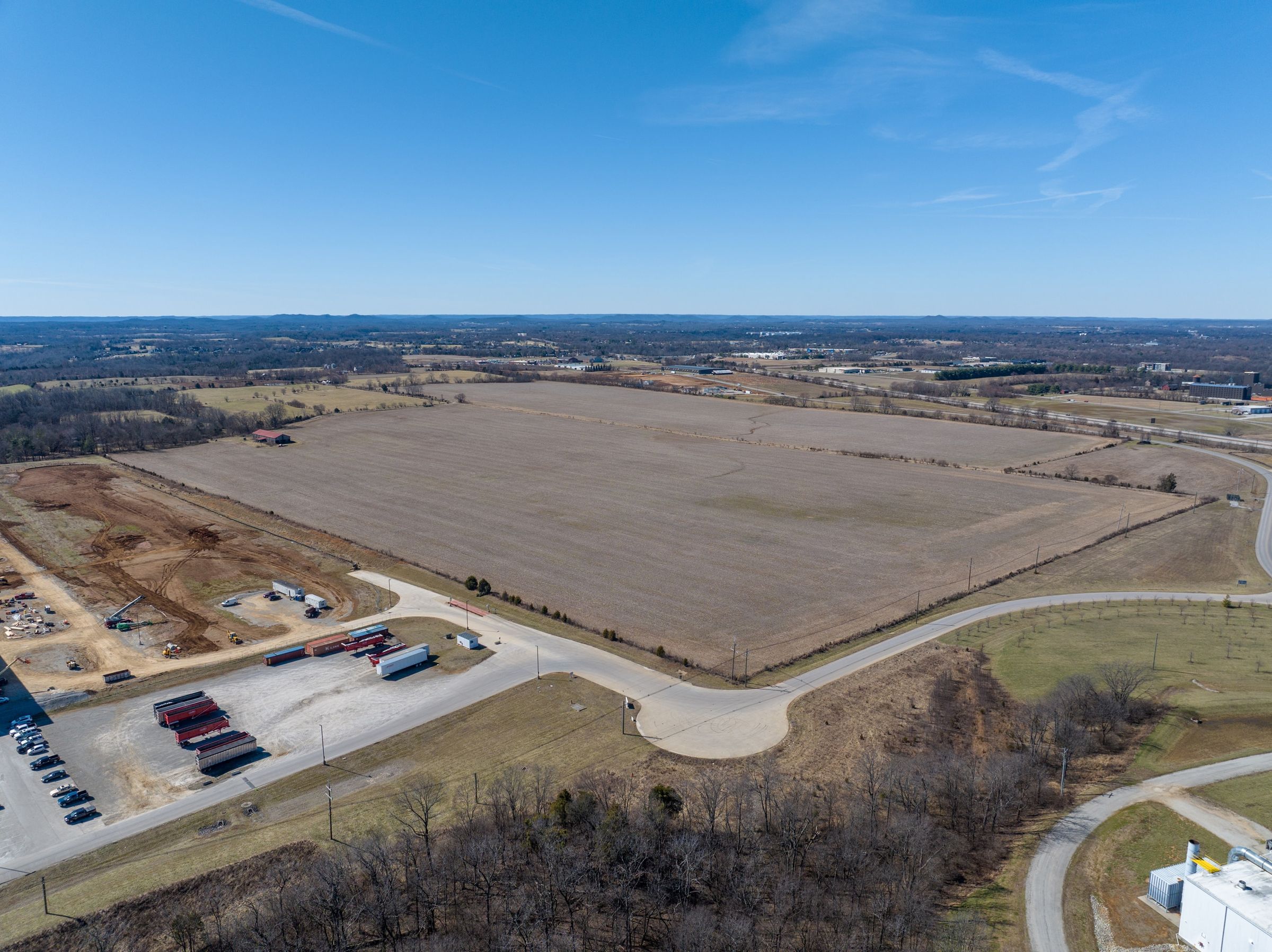
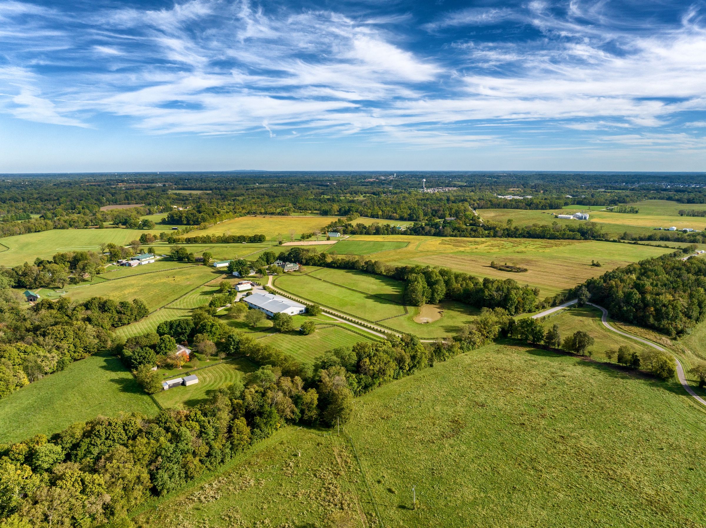
From the road, a development site is a fence line and a treeline. From the air it is what a buyer is paying for: frontage, access, topography and what sits next door.
For brokers, developers and landowners, aerial photos and video with approximate outlines and labels turn a map pin into a property someone can understand before they drive out. For project teams, the same flight is a record of existing conditions before the first machine arrives.
- Approximate parcel outlines and acreage labels on the frames you choose
- Callouts for highways, rail lines, towns and major employers
- Drone video tours with animated outlines
- Existing-condition records before grading starts
From the field
Three land projects
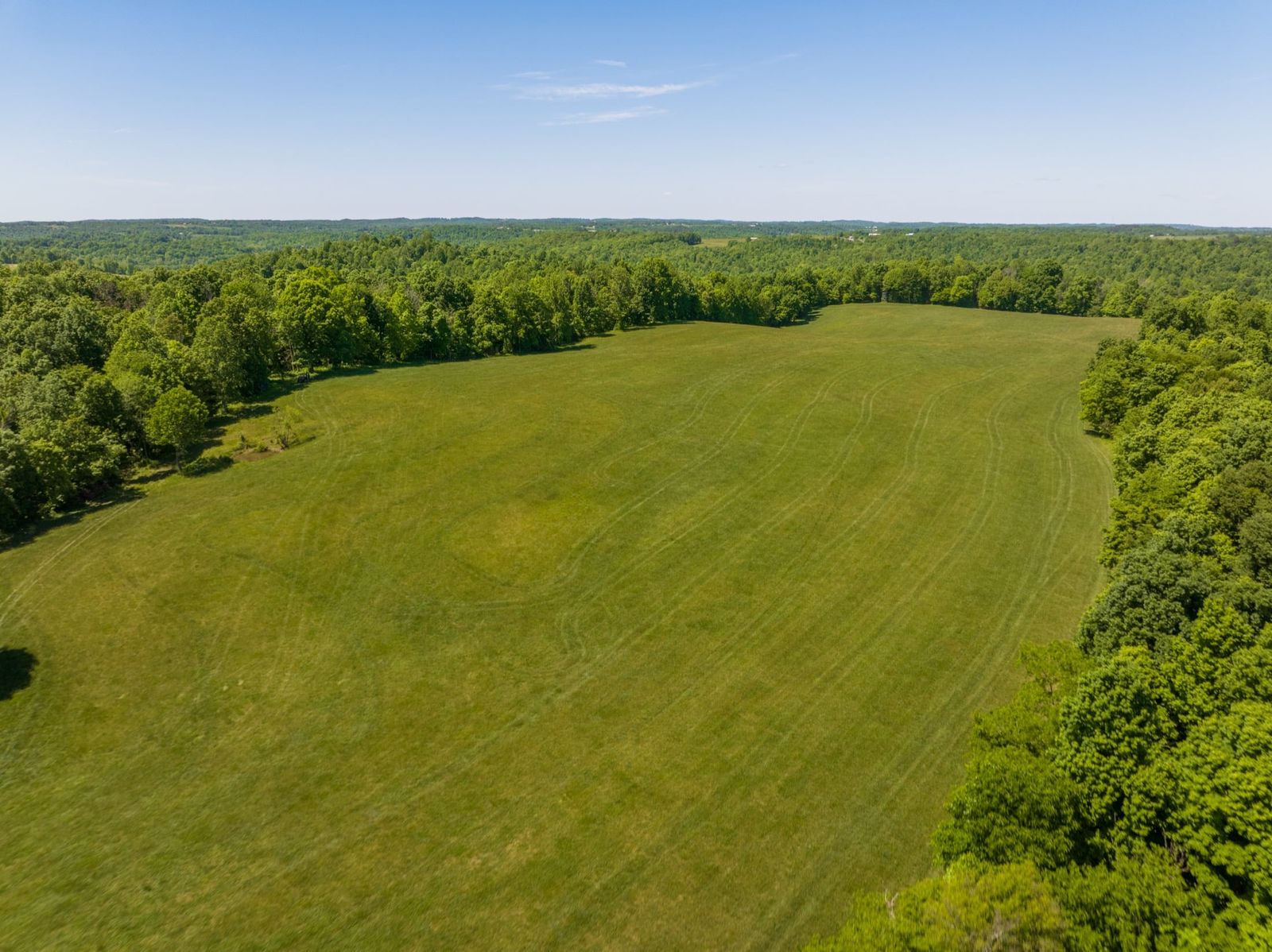
150 acres near Leitchfield
Two parcels, about 90 acres of fields and farmstead and 60 acres of standing timber, outlined on real aerial frames so buyers could see both at once.
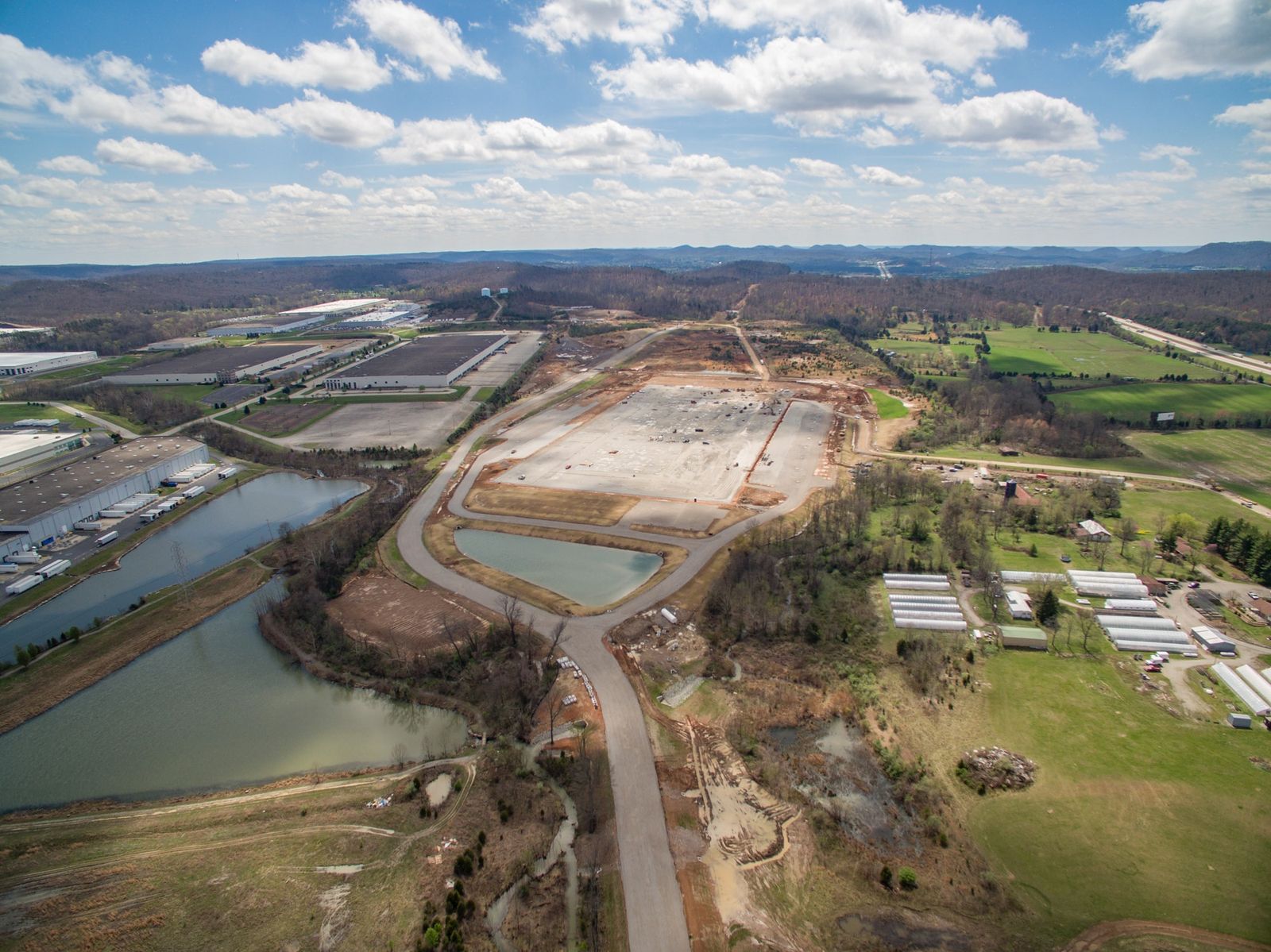
Dixie Highway, West Point
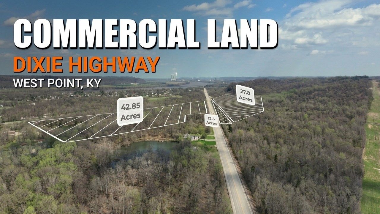
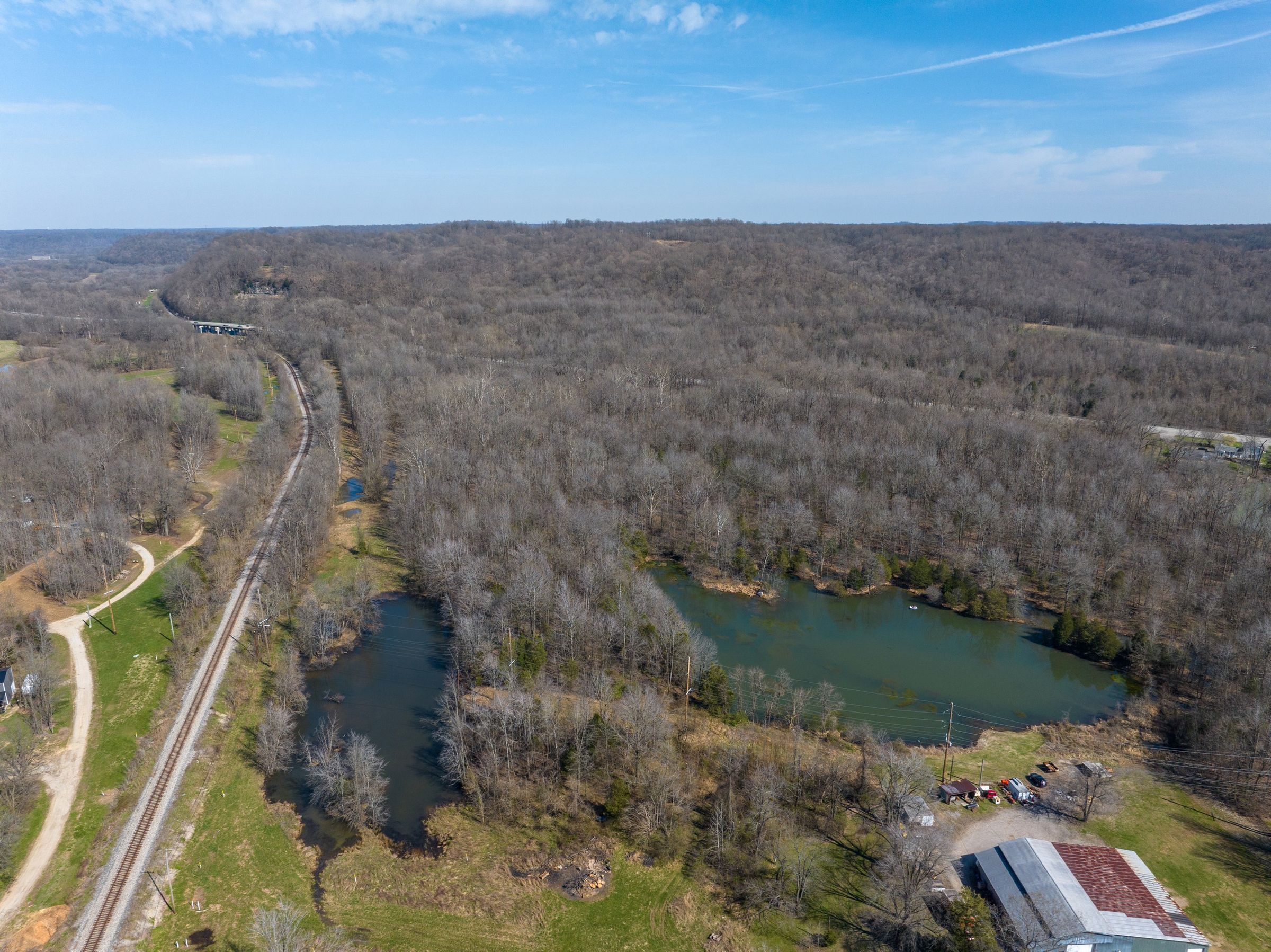
Three commercial parcels on both sides of Dixie Highway, outlined and labeled with the town, the plants, the rail lines and the highway around them.
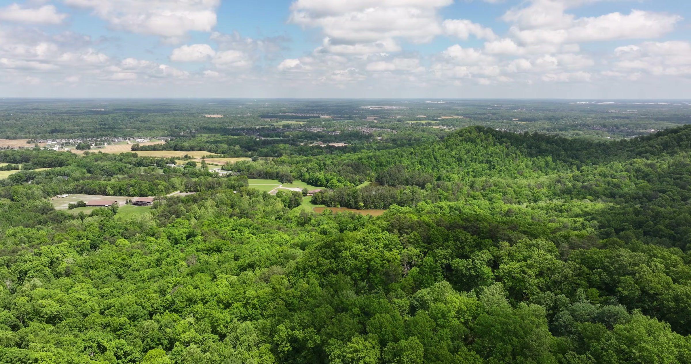
500 acres in Starlight, Indiana
A former ski resort closed in the 1980s, flown from several launch points with its old runs still traced in the tree line.
Land on film
Land and development films
What you get
A complete land package
- Aerial photos
- Edited stills from several heights and angles, delivered by download link
- Outlines & labels
- Approximate boundaries, acreage labels and area callouts on the frames you choose
- Drone video
- A tour of the property with animated outlines and labels, ready for listings and social media
- Turnaround
- Edited photos in 24 to 48 hours, edited video in 48 to 72 hours
- Rights
- Full commercial usage rights for listings, websites, email, print and presentations
Questions
Land and development questions
Are the parcel outlines a survey?
No. Outlines are drawn from the plat, GIS map or sketch you provide and are approximate, for marketing reference only. Each outlined frame can carry that note.
Can you show several parcels in one listing?
Yes. Separate tracts can each get their own outline and acreage label, and a wide frame shows how they fit together, as on the three-parcel West Point listing.
What do you need from me?
The property location, a plat, survey or GIS outline if you have one, and the landmarks you want labeled: highways, rail, towns or major employers.
How large a property can you fly?
From a few acres to several hundred. Large tracts are flown from more than one launch point so every part of the land is covered.
Related services
Often booked together
Most projects combine two or three of these on the same visit, under one quote.
Construction Progress Photography
Repeatable progress photos from the same positions every visit.
Drone Mapping & 3D Models
Orthomosaic maps, 3D models and elevation layers to measure on.


Next step
Listing land that needs to be seen from above?
Tell me where the property is, how many acres and when you need the files. You will get a plan and one clear price.
