
Weekly · Monthly · Milestone
Construction Progress Photography
A dated, repeatable aerial record of your job site from groundbreaking to ribbon cutting, flown on your schedule anywhere in Kentucky and Southern Indiana.

Construction drone photography
A progress set you can put side by side
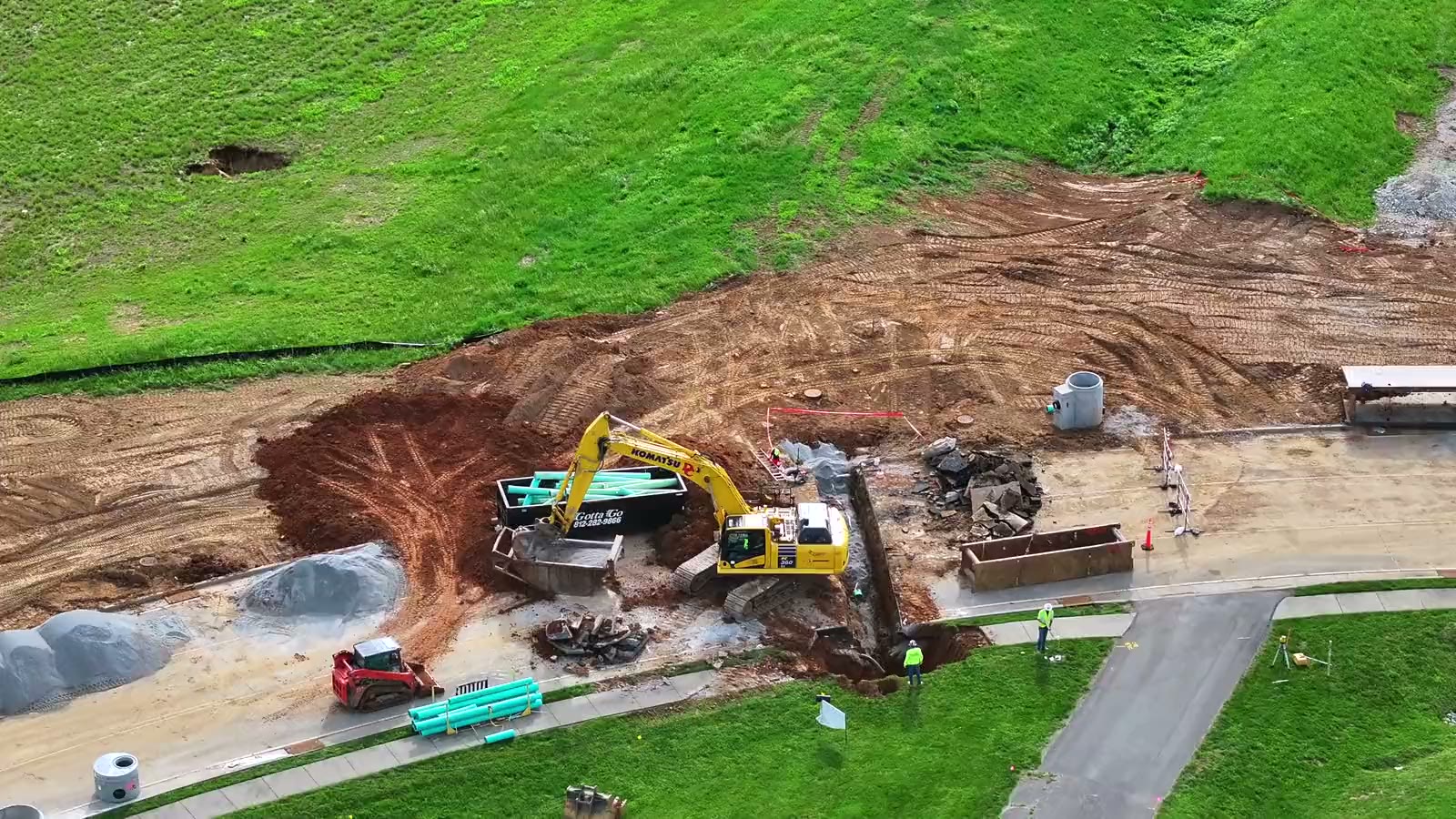
Aerial construction photography is only useful if month six can be compared with month one. That comes down to discipline on the flight, not the camera.
On the first visit I set the positions, heights and headings for your site and record them. Every visit after that is flown the same way, then edited: color-corrected, straightened and named by date. The result is a construction site record your superintendent, owner and lender can all read without an explanation.
- Site-wide overviews that show the whole job in one frame
- Closer frames on the areas that matter this month
- Optional orthomosaic map and progress video from the same flight
- Ground photos on the same visit when you need them
Each visit
What you receive
- Angles
- The same positions, heights and headings every visit, set with you on the first flight
- Photos
- High-resolution stills up to 48 MP, color-corrected and straightened
- Delivery
- Download link within 24 to 48 hours of the flight, organized by date
- Schedule
- Weekly, bi-weekly, monthly, by milestone or one time
- Add-ons
- Progress video, orthomosaic maps, before-and-after comparisons, ground photos
- Weather
- Rescheduled to the next safe window, with notice before the day
- Rights
- Full commercial usage rights on every file
Who uses the set
One flight, many readers
Project teams
Check staging, laydown and access from above, and settle questions about site conditions on a date with a photo.
Owners & developers
See real progress between site visits and share it with partners, tenants and lenders.
Reports & billing
Support monthly owner reports, pay applications and milestone sign-offs with dated imagery.
Marketing
Finish the job with a library of construction photos already shot, edited and cleared for use.
Monthly in Hardin County
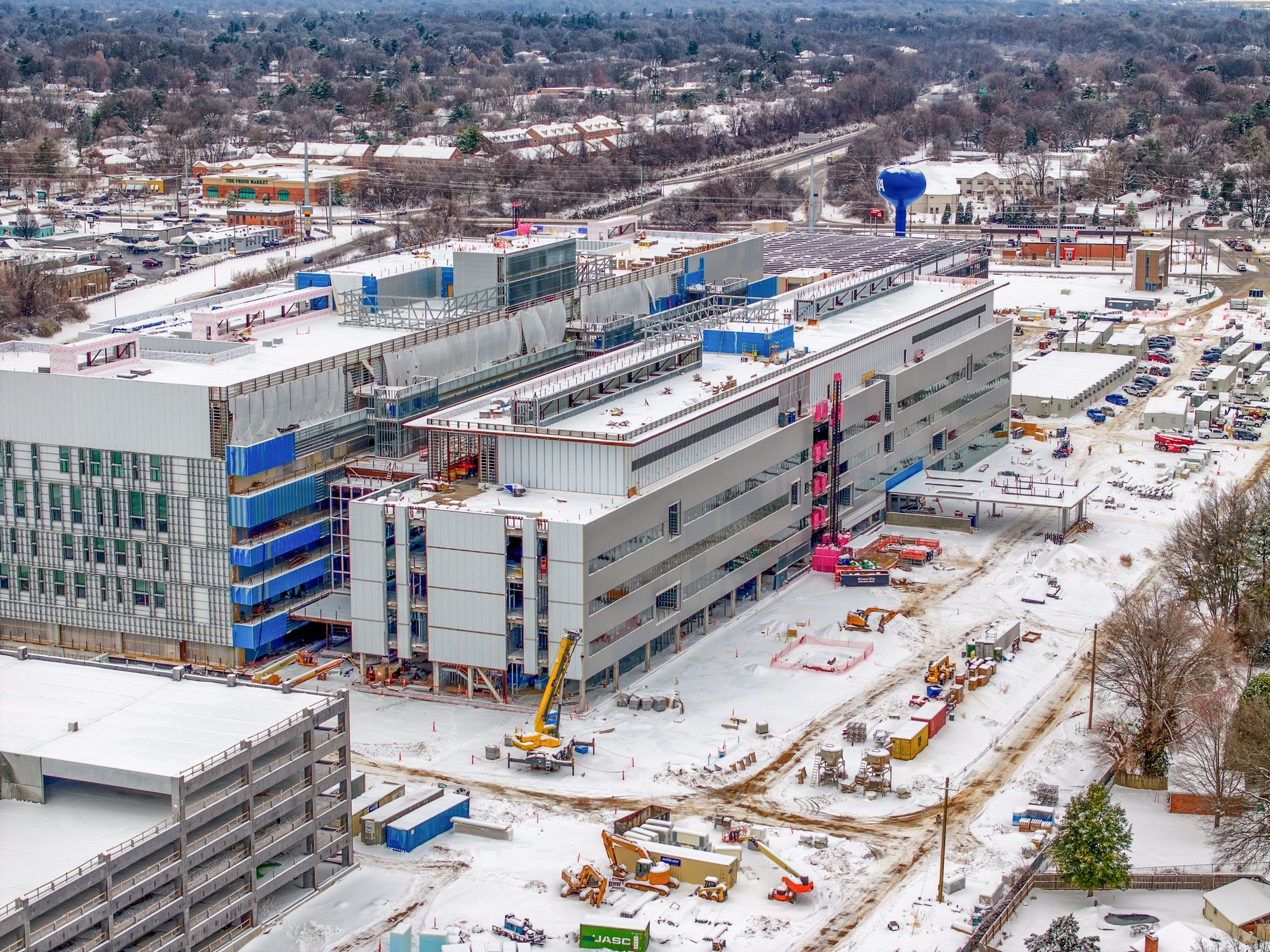
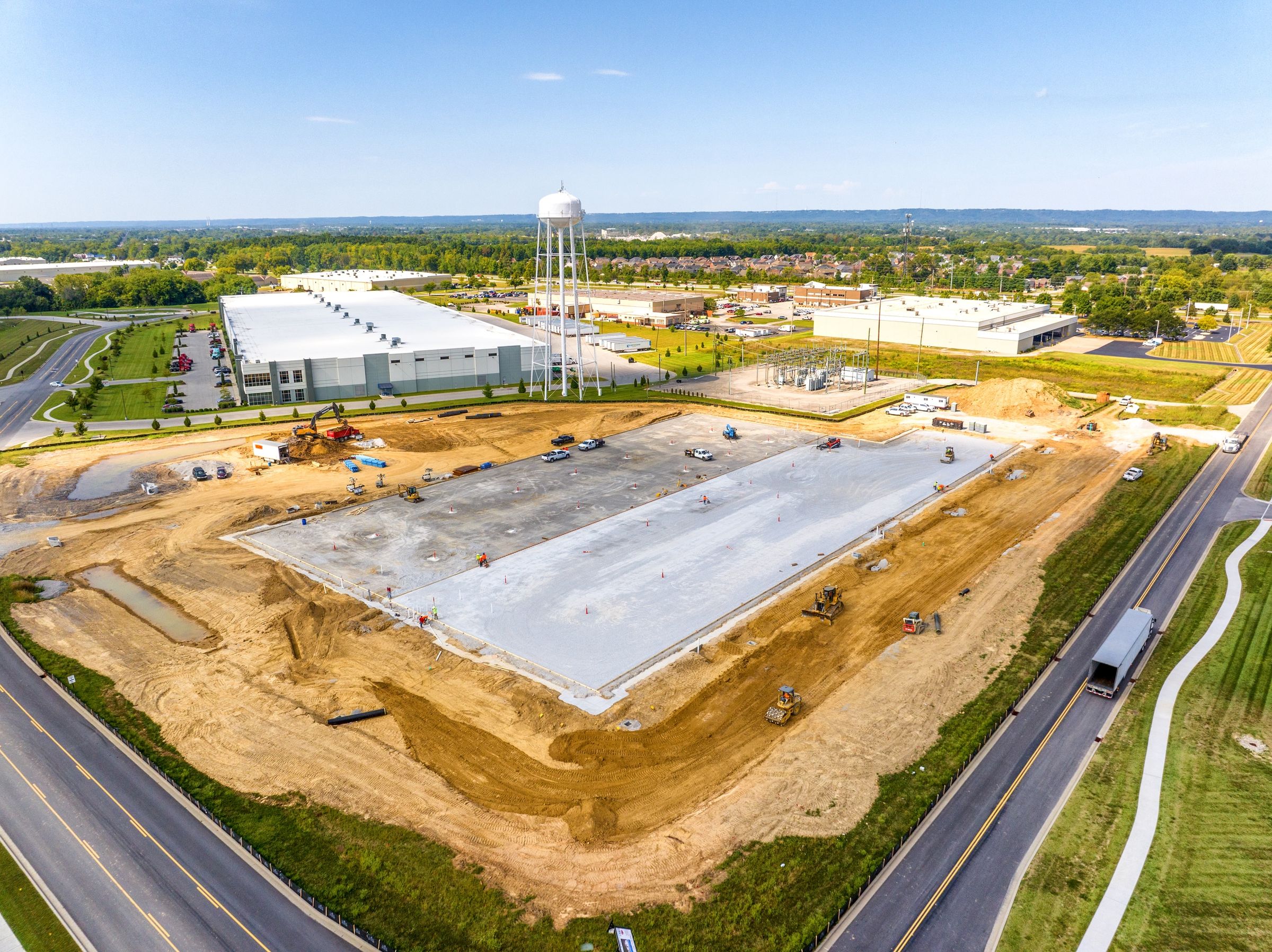
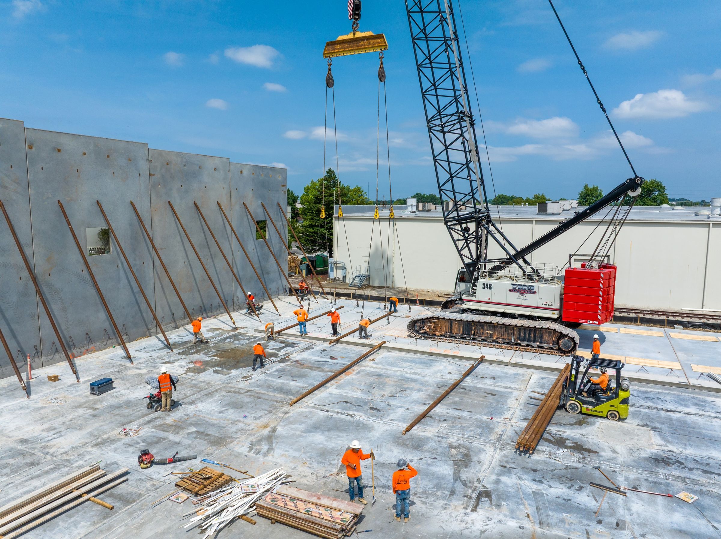
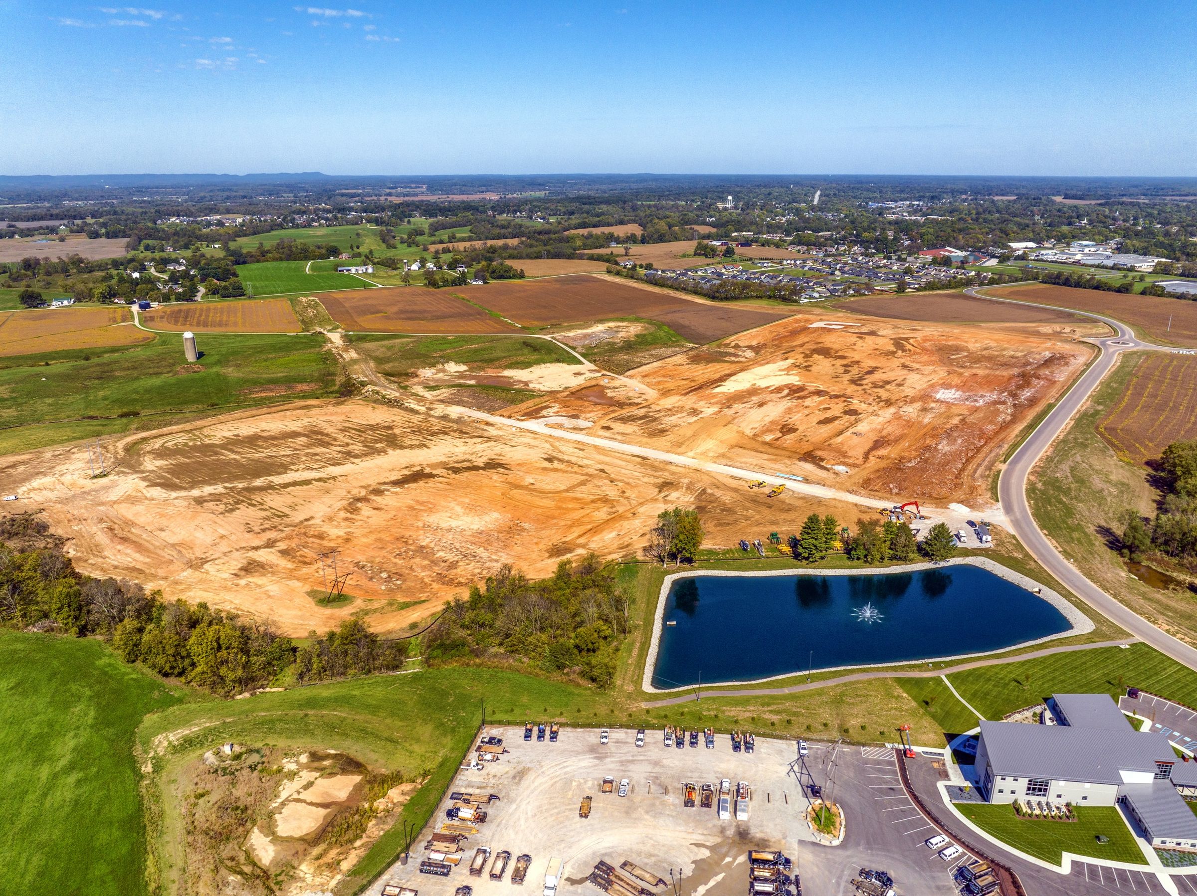
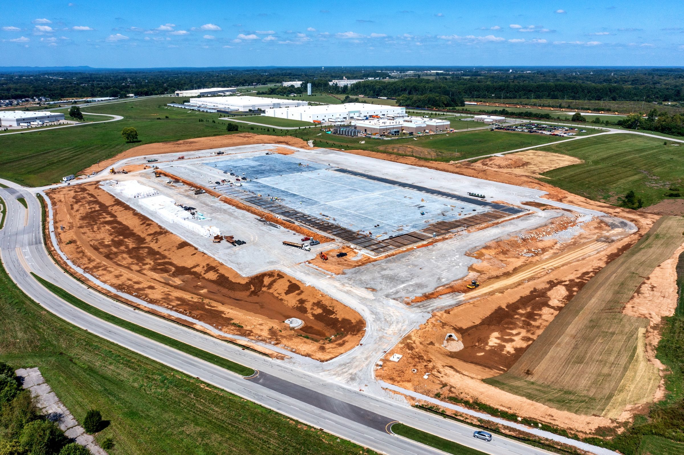
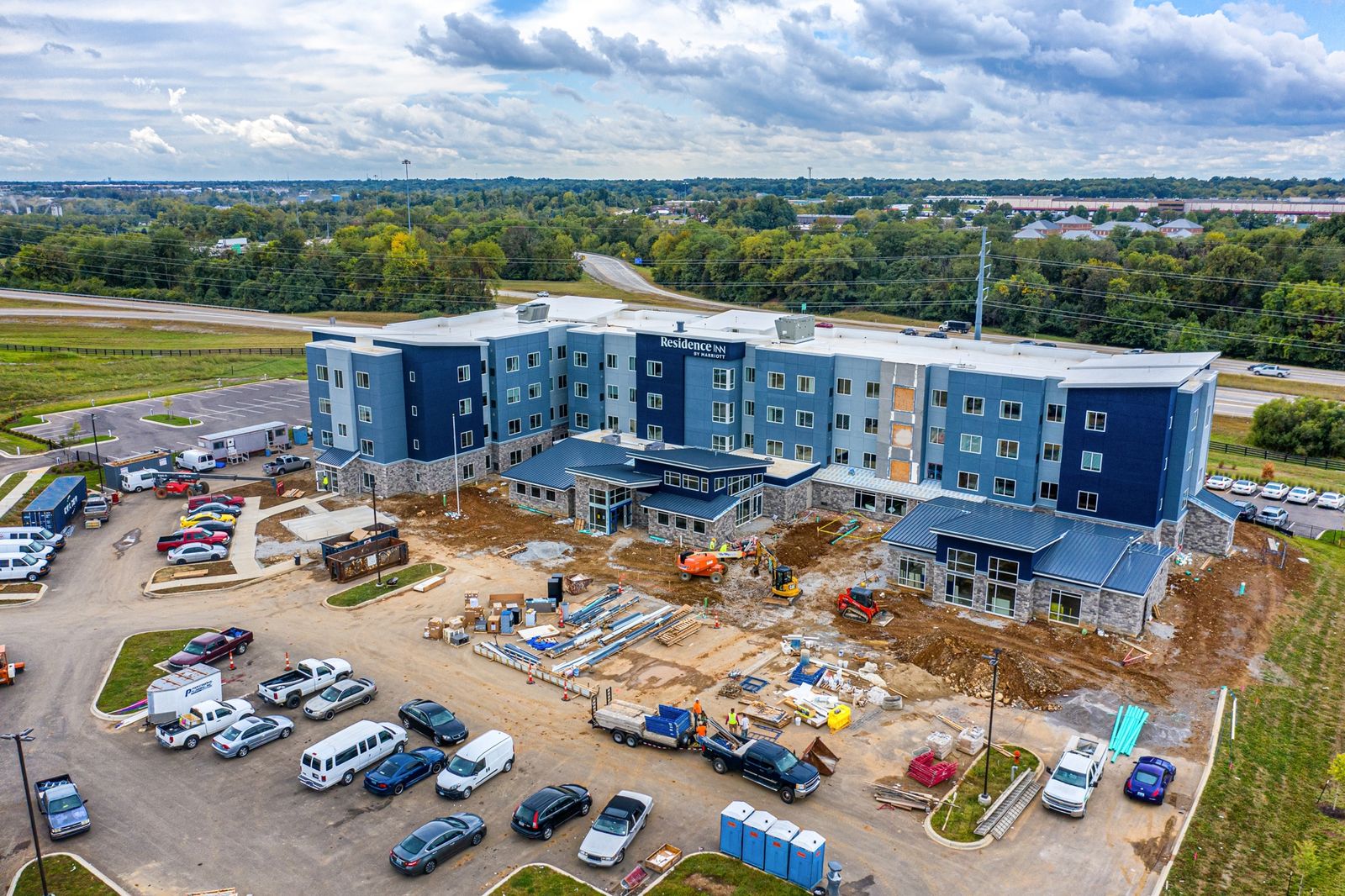
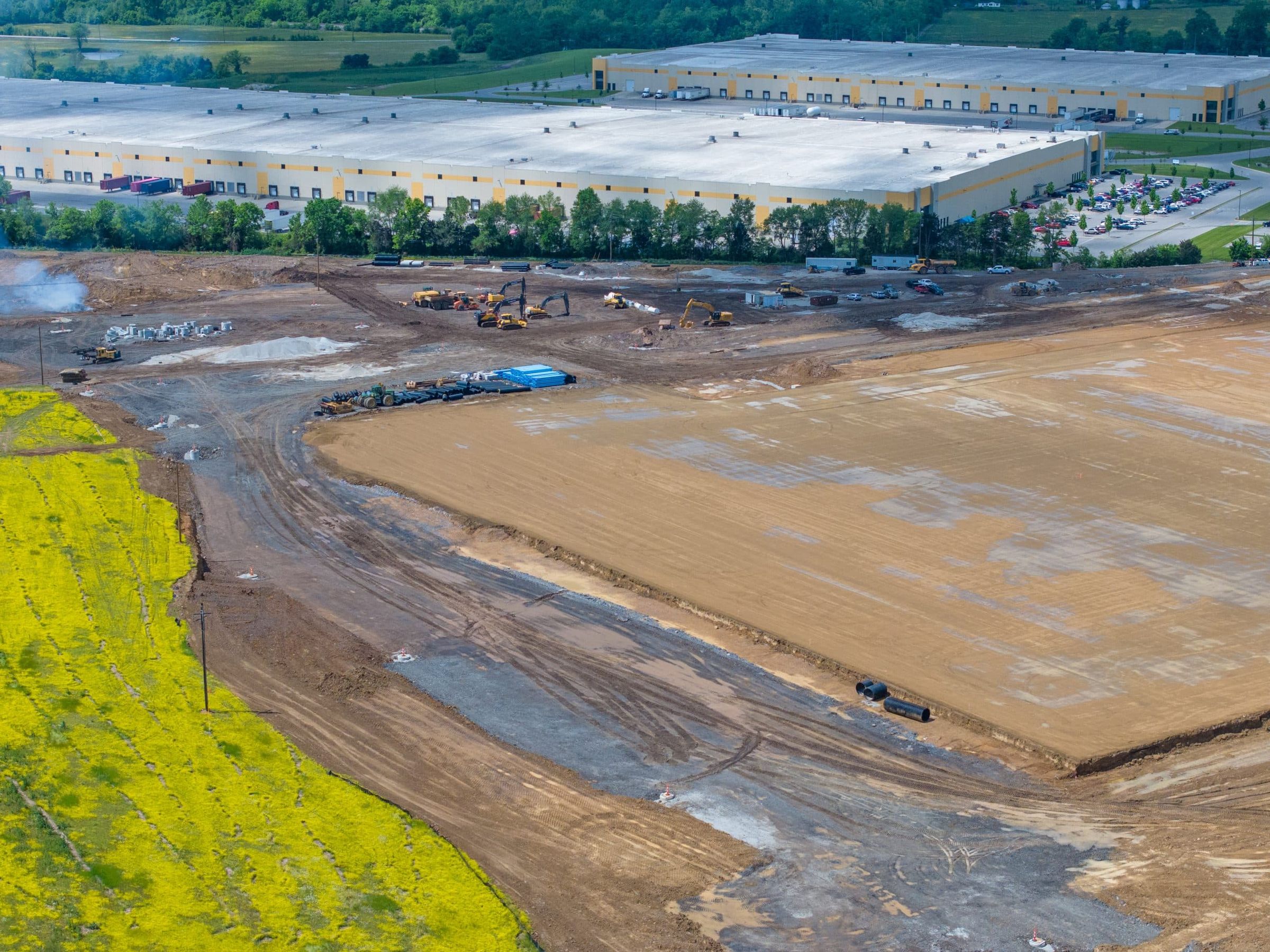
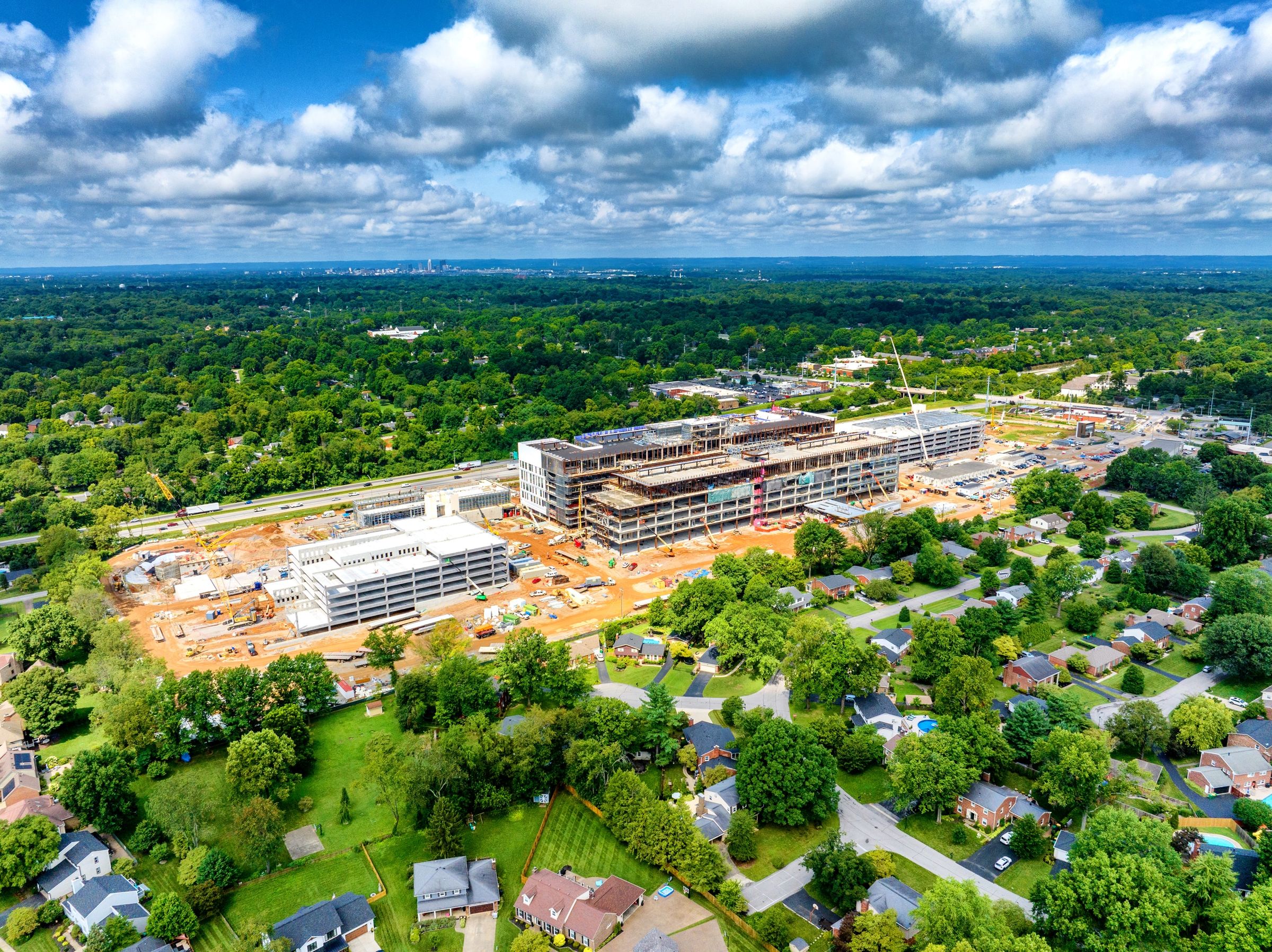
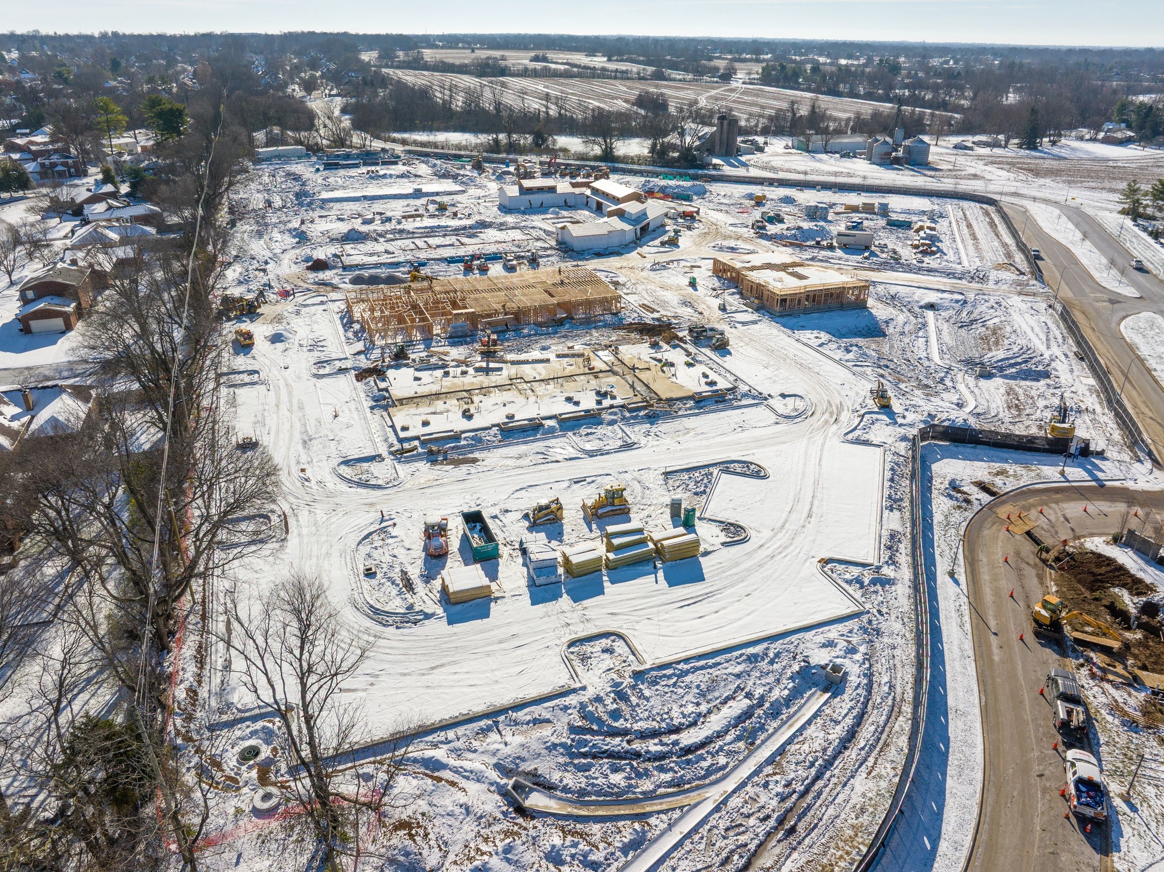
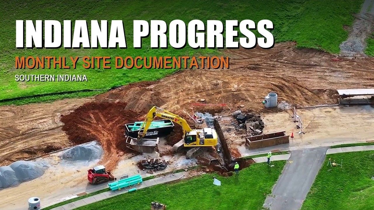
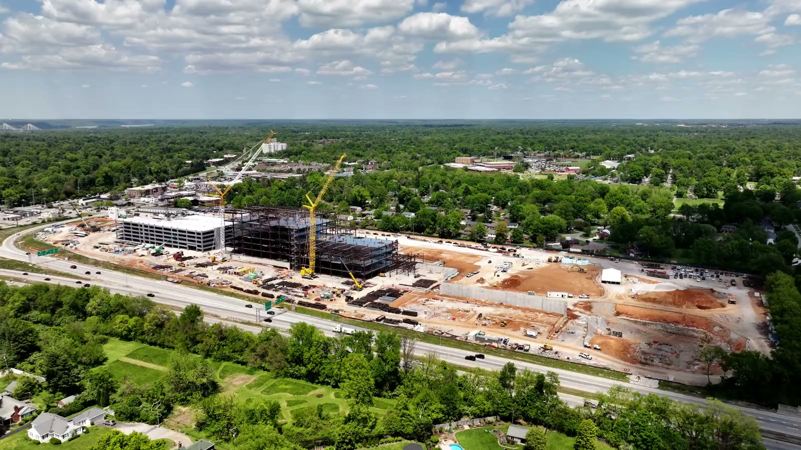
A medical clinic in Elizabethtown, from dirt to building pad
Flown in the first week of every month since July 2026, from the same positions each time. Each visit delivers edited photos and raw clips, and the footage becomes one highlight film at the end of the job.


Pair it with video
Photos and video from the same visit
Most progress clients add a short video update or a monthly map to the same flight. It costs far less than a second trip.
Questions
Construction photography questions
How often should a construction site be flown?
Monthly suits most commercial builds. Weekly or bi-weekly makes sense during fast phases like mass grading, steel or tilt-up, and milestone-only works for smaller jobs. Many projects change cadence as the job moves; the schedule is set with you at the start.
Will every visit really match?
Yes. The positions, heights and headings are set on the first flight and recorded, then flown again on every visit, so the photos line up month after month and make clean before-and-after comparisons.
What happens if the weather is bad on the scheduled day?
The flight moves to the next safe window and you are told before the day. A monthly set is still a monthly set; it just may be flown a day or two later.
Do you need anything from us on site?
Tell me the site check-in and PPE requirements and I will follow them. For most sites the drone launches from a safe spot at the edge of the work and nobody has to stop.
Can we use the photos for marketing too?
Yes. Every job includes full commercial usage rights, so the same files work for owner reports, proposals, your website and social media.
How are the files delivered?
By download link after each visit, organized by date. Edited photos typically arrive within 24 to 48 hours of the flight.
Related services
Often booked together
Most projects combine two or three of these on the same visit, under one quote.
Drone Mapping & 3D Models
Orthomosaic maps, 3D models and elevation layers to measure on.

Next step
Put your build on a schedule
Send the project address, the start date and how often you want updates. I will set the angles, the cadence and one clear price for the whole job.
