
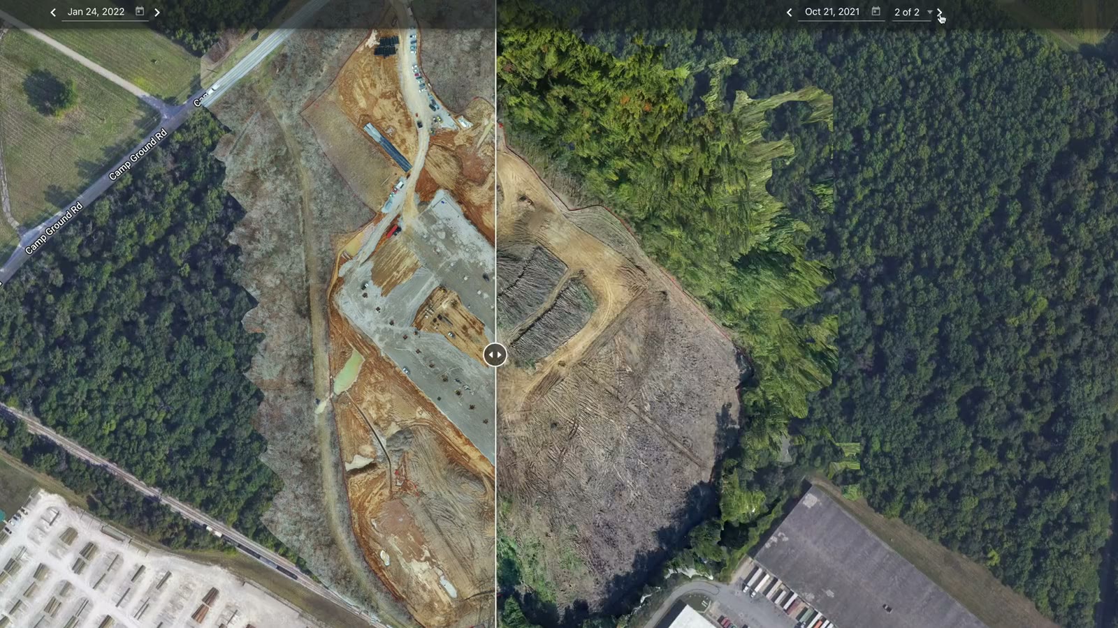
Orthomosaics · 3D models · Elevation
Drone Mapping & 3D Site Models
Measurable orthomosaic maps, textured 3D models and elevation layers of construction and development sites in Kentucky and Southern Indiana, flown once or on a schedule.

Drone mapping in Kentucky
One flight becomes a site you can measure
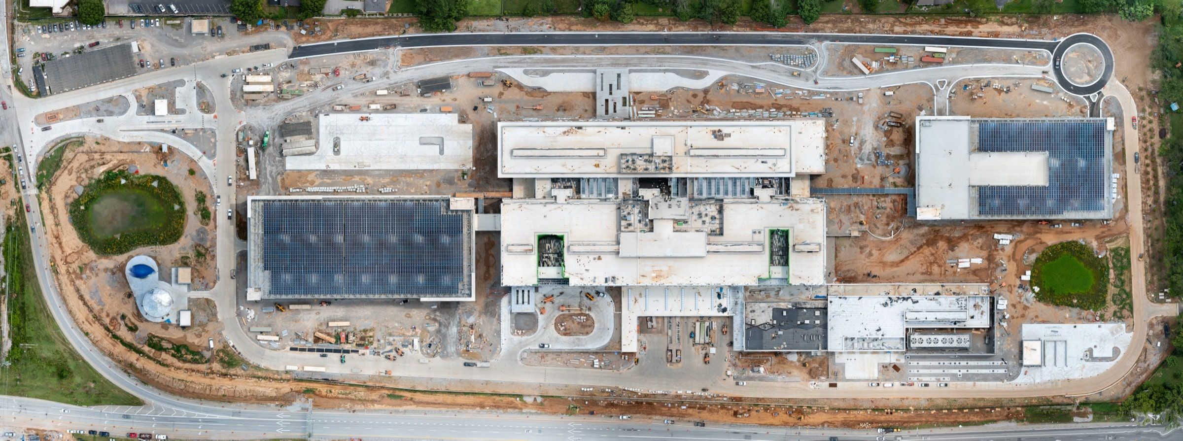
A mapping mission is a planned grid of hundreds of overlapping photos, stitched into one georeferenced image of the whole site.
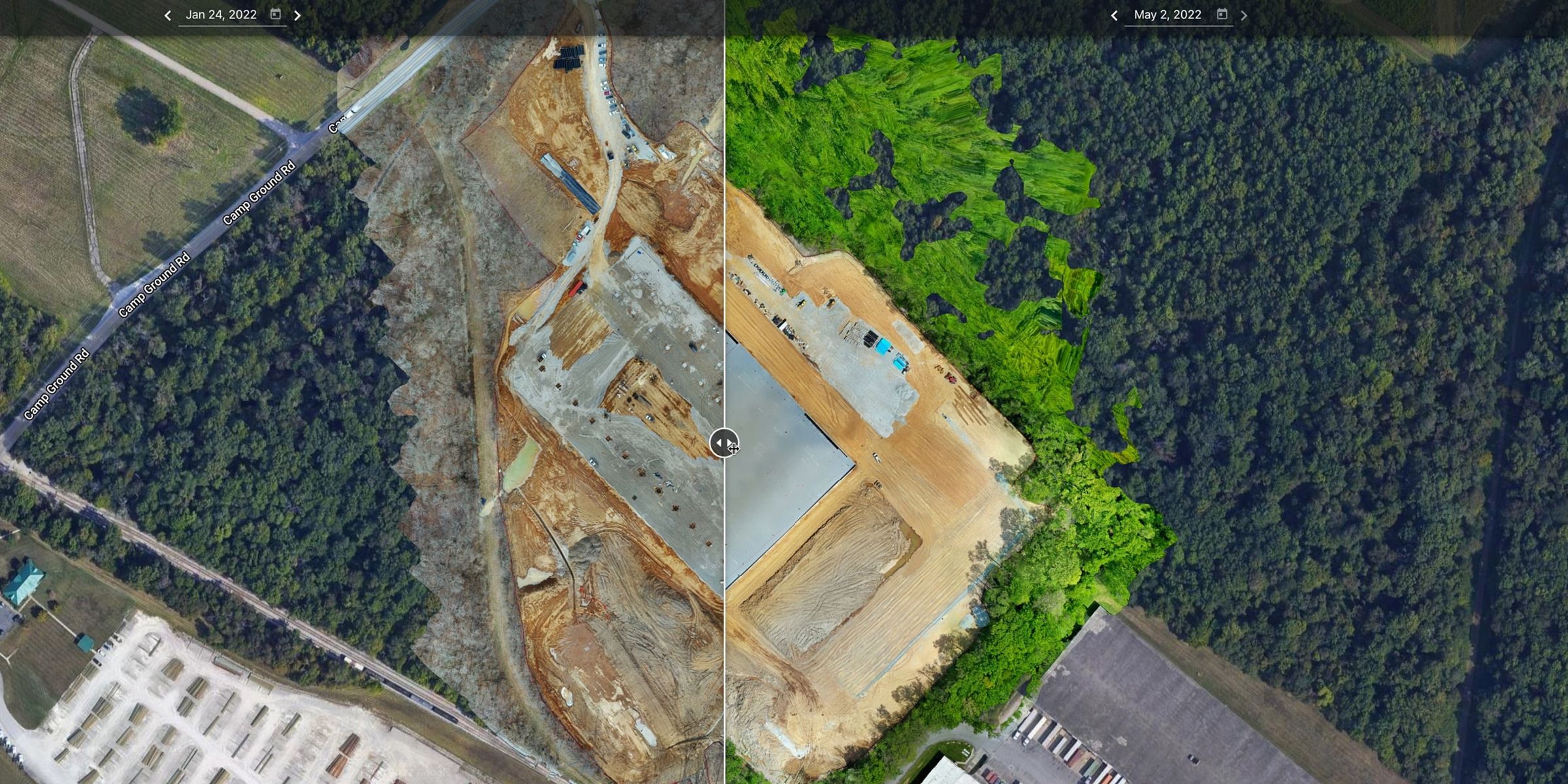
Superintendents measure distances on it, planners mark laydown areas and crane paths on it, and owners get a dated record of exactly where the job stood. Fly the same site again next month and the two maps line up.
Every mission is planned with consistent overlap, processed and checked before delivery.
Deliverables
Maps and models for real decisions
Orthomosaic maps
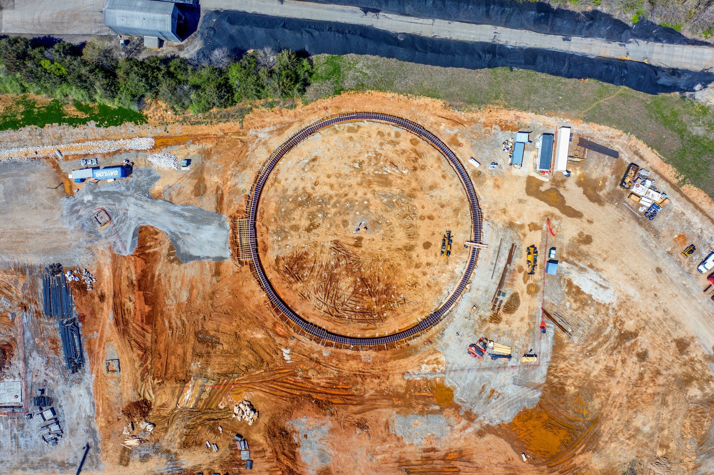
High-resolution photos stitched into one accurate, color-corrected map of the whole site, current to the day it was flown.
3D models
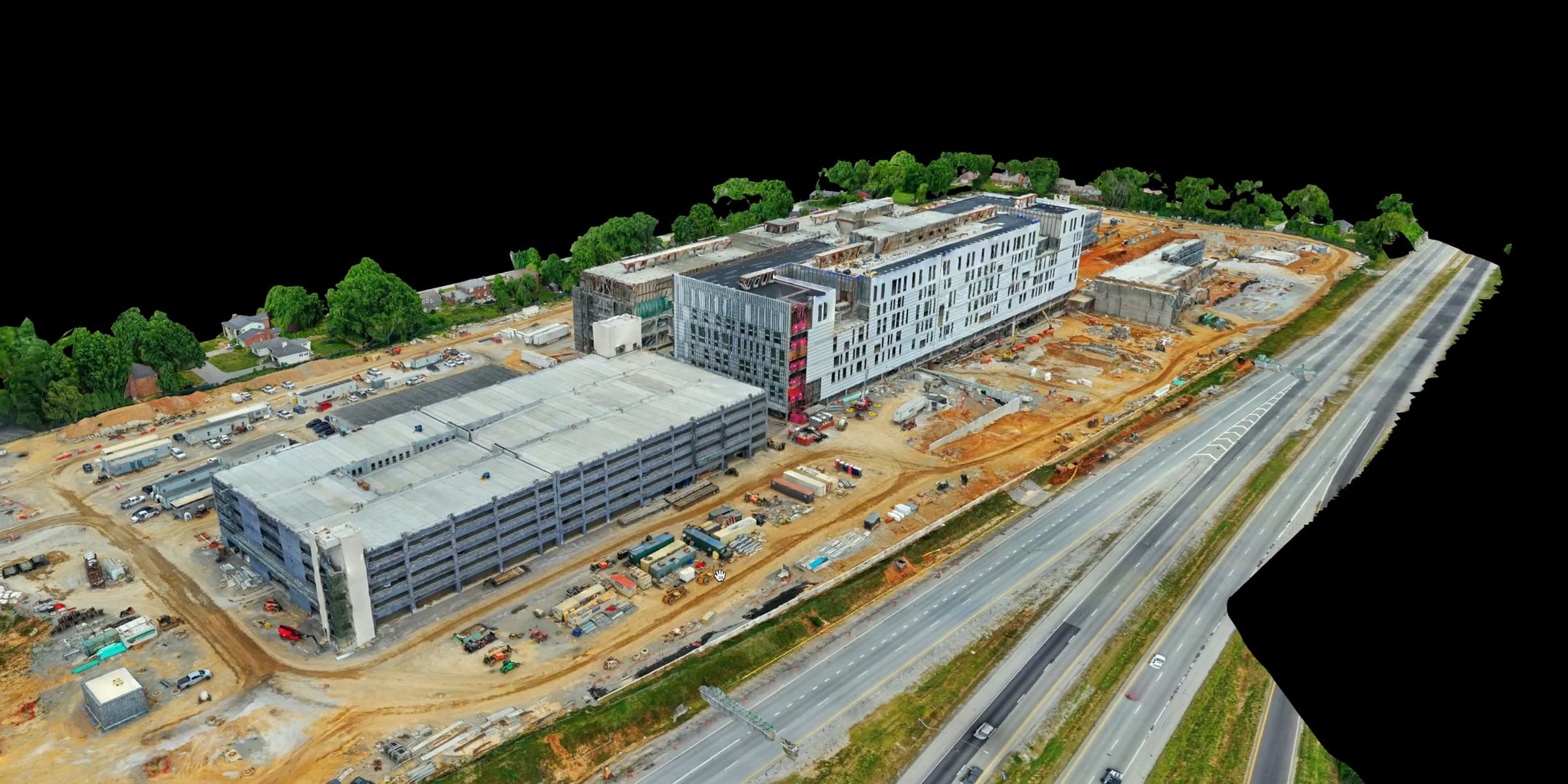
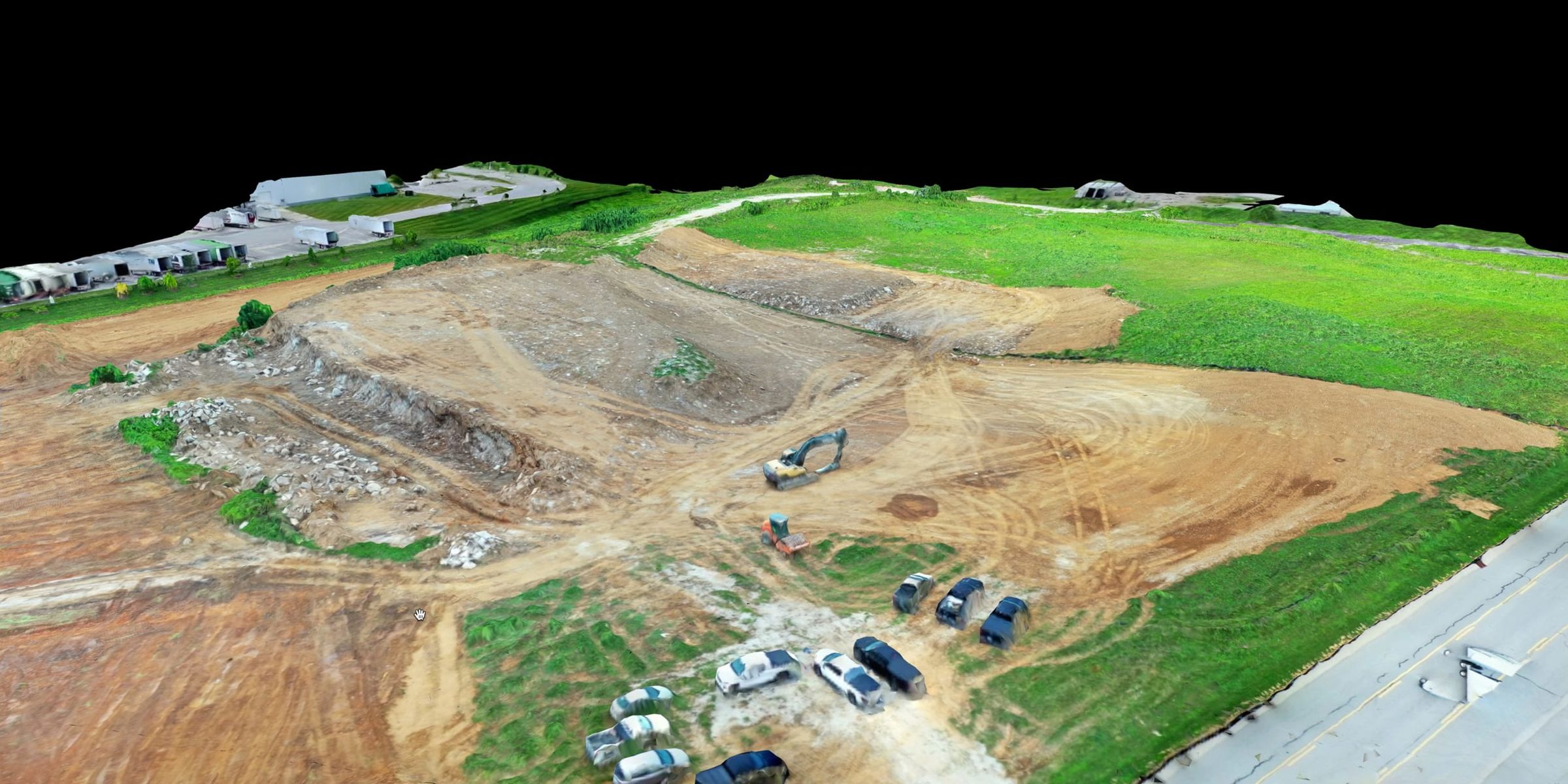
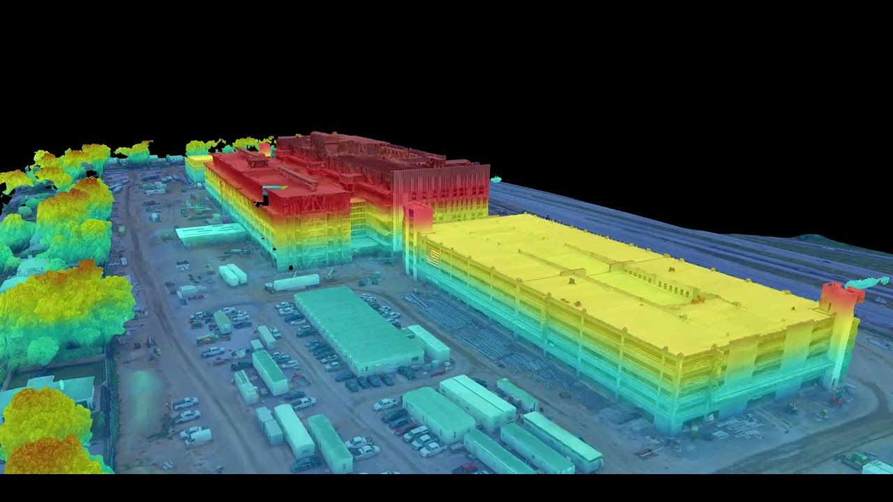
Textured models that let engineers, estimators and owners walk a site and check it from any angle without leaving the office.
Elevation layers
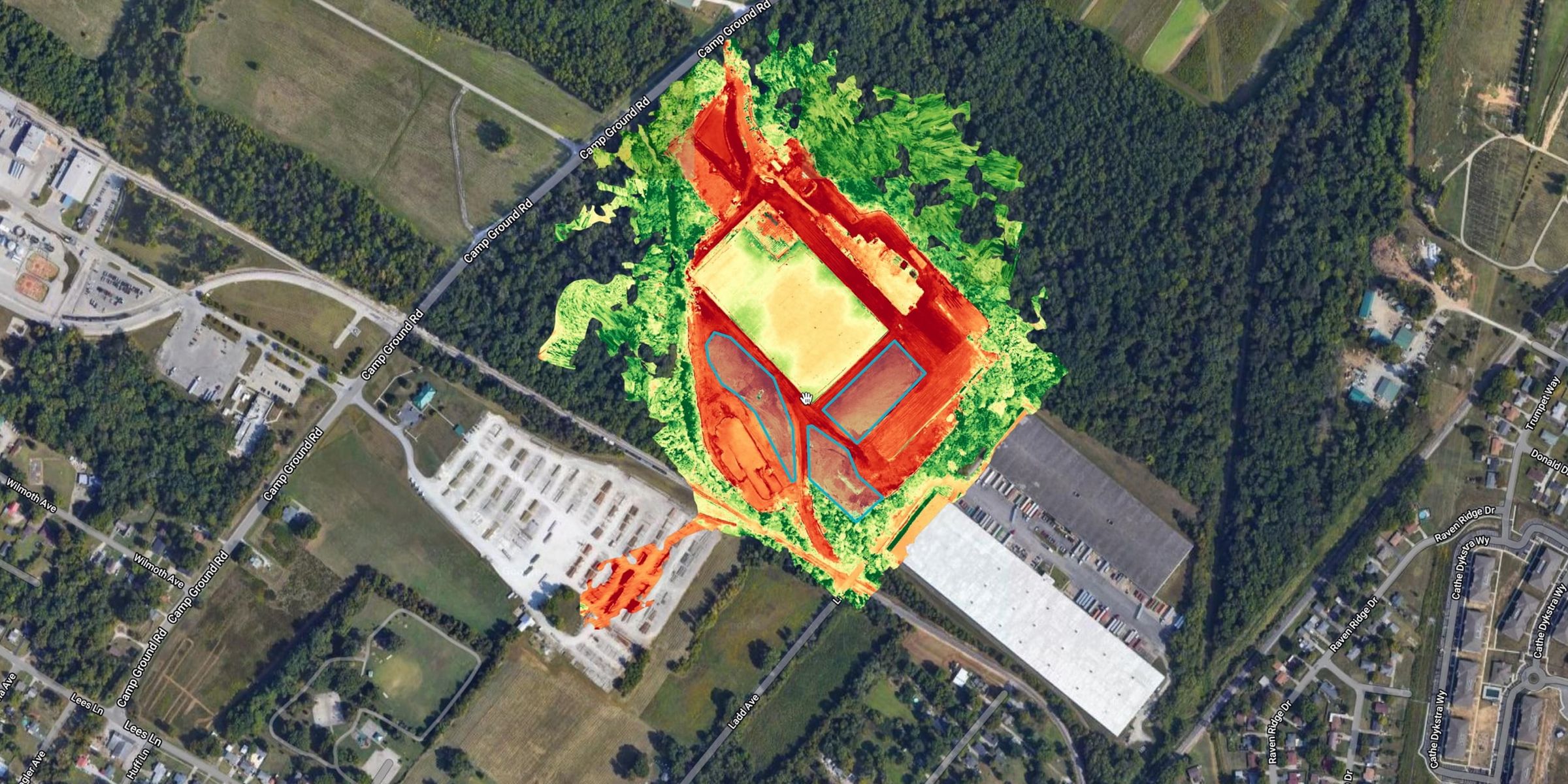
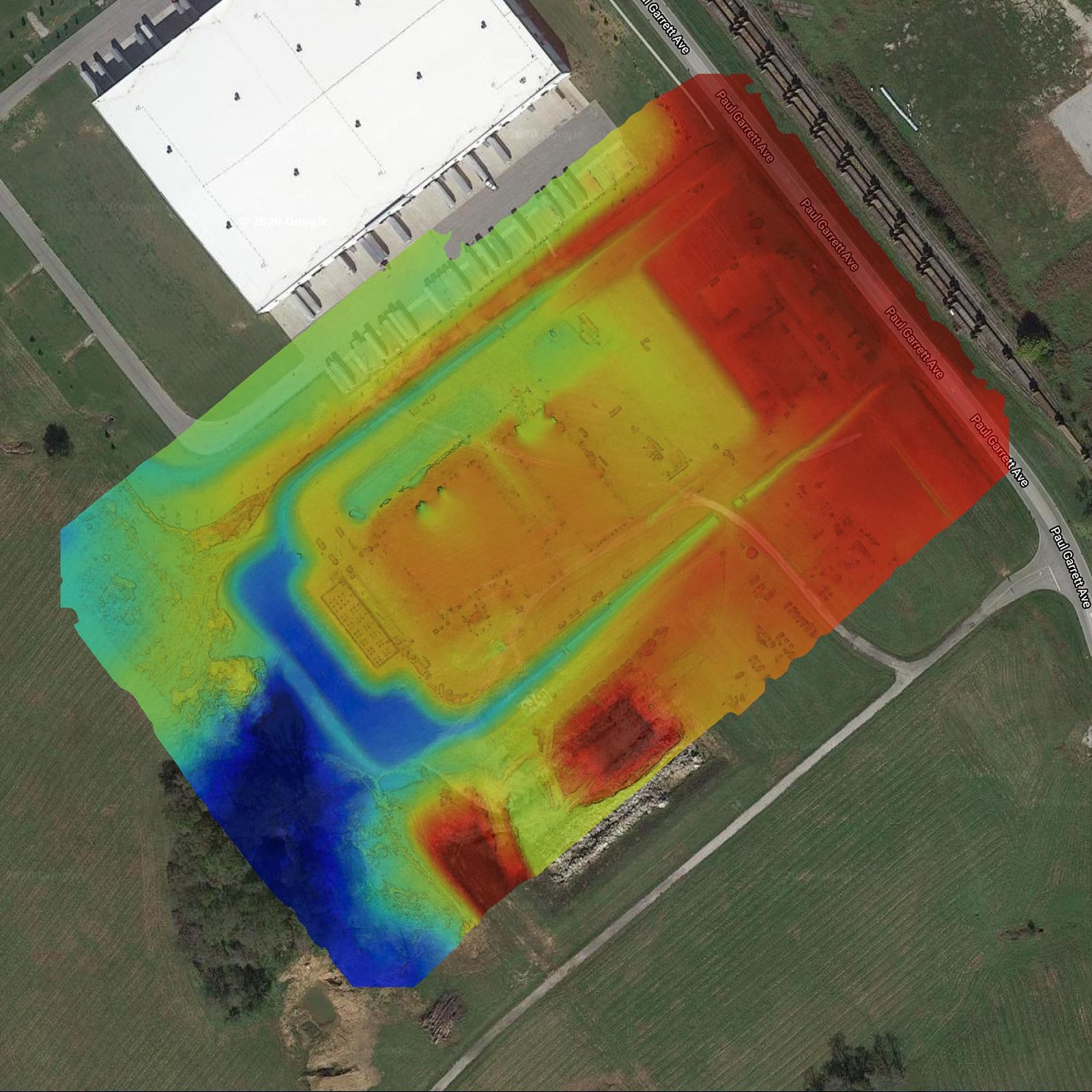
Color-coded terrain and elevation data for checking grades, drainage and earthwork across the site.
Measurements
Distances, areas and stockpiles measured from the map or model, for planning and progress, not for legal boundaries.
Case study
Two years of monthly maps, one site
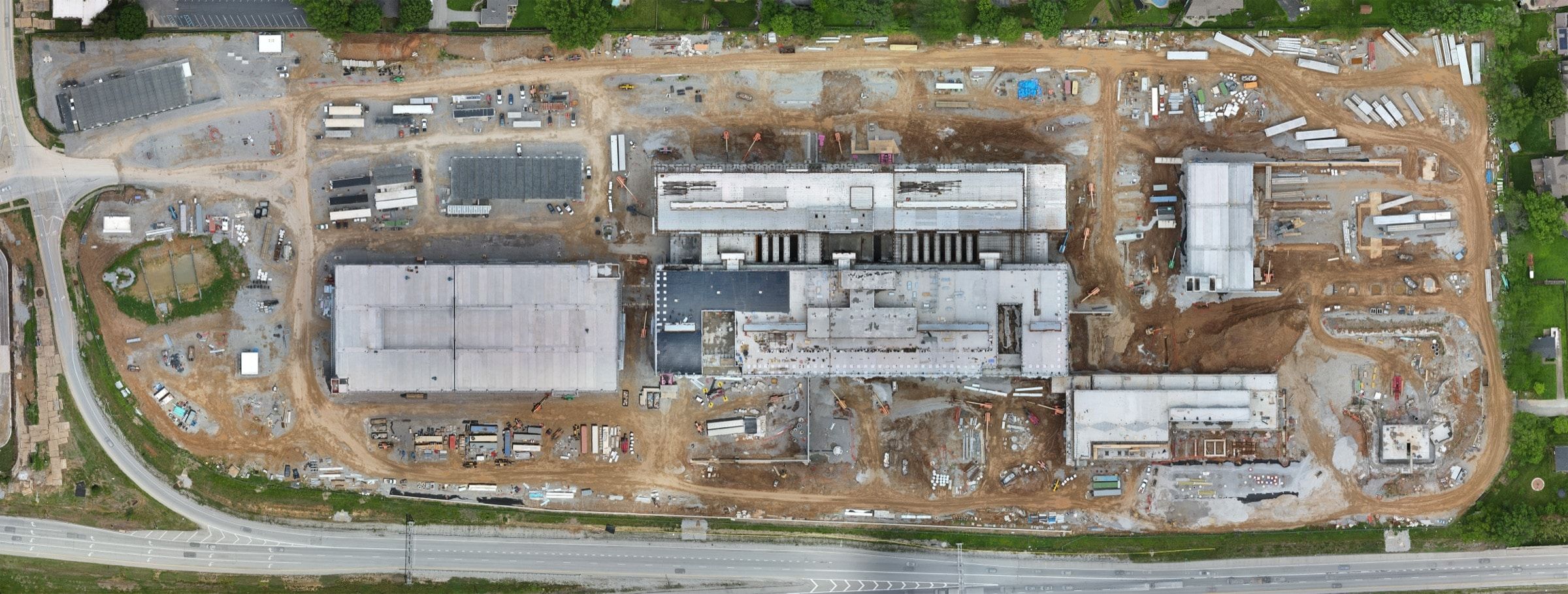
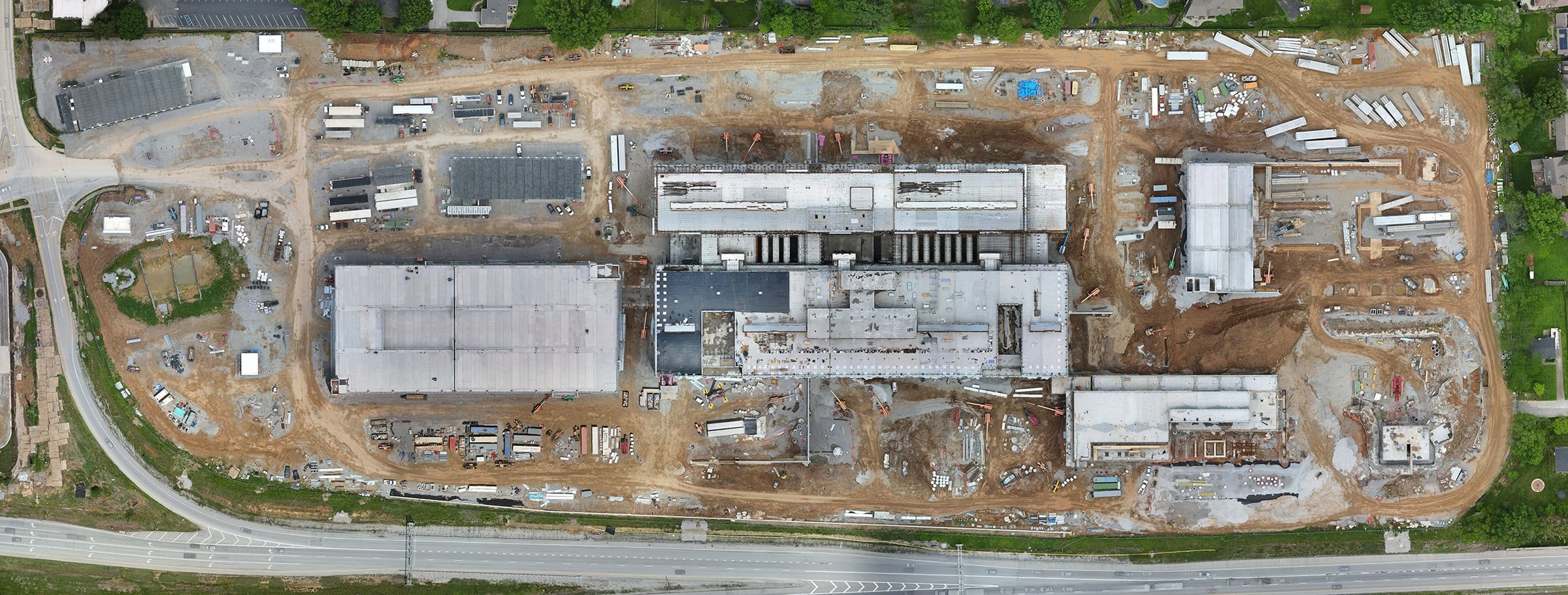
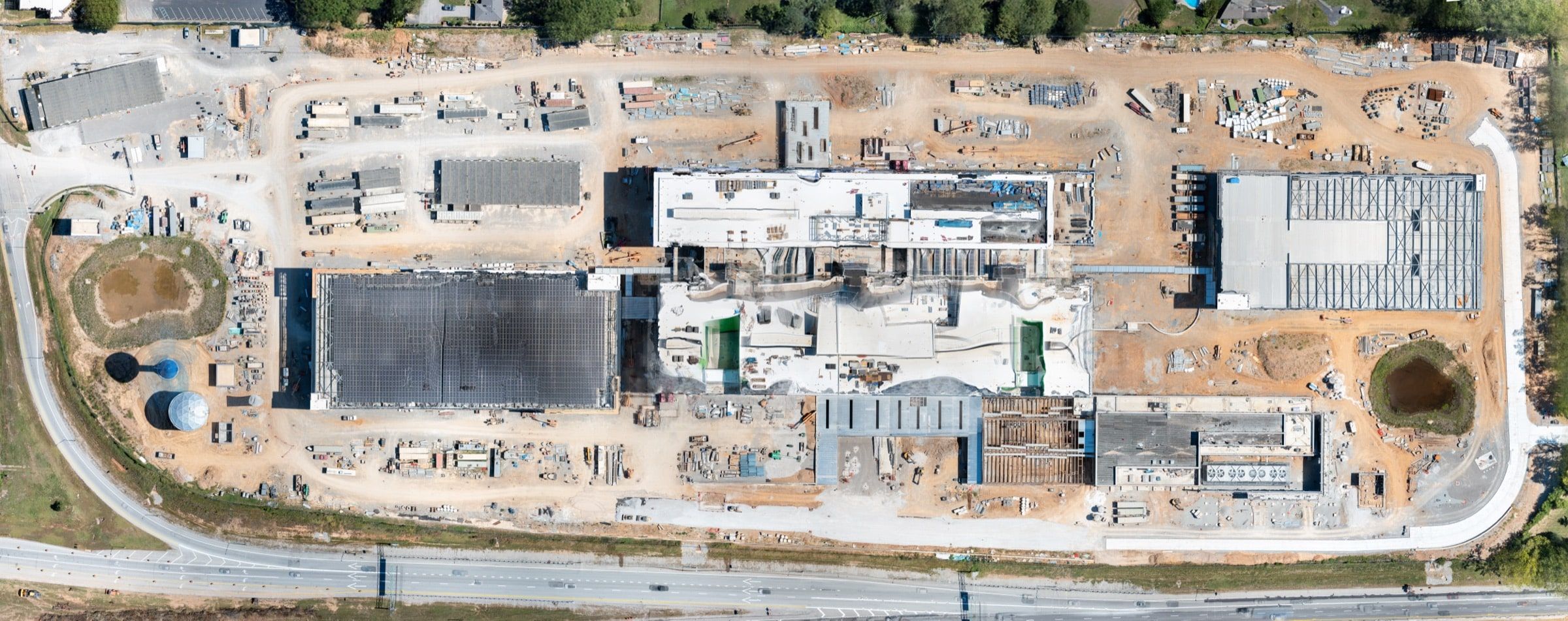
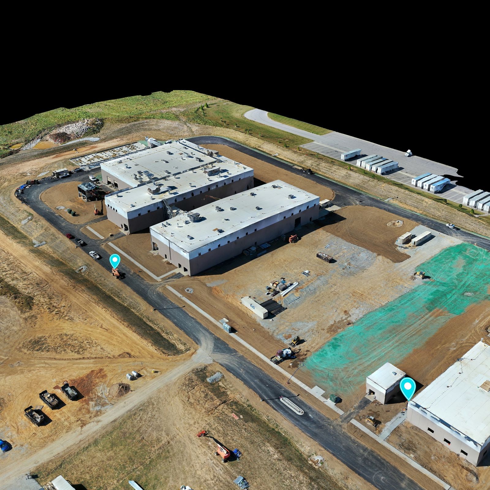
The Louisville VA Medical Center, flown every month since the summer of 2024 for Walsh Construction. Drag to compare January 2025 with March 2026, then open any month below.


Mapping in motion
Watch a mission come together
How a mission works
From flight plan to finished map
Define the output
Coverage area, map or model, and how your team will measure or use it.
Plan the flight
Grid, overlap, height and launch points planned for the site and the airspace.
Fly the mission
Hundreds of overlapping frames captured in one session, repeated the same way next time.
Process & check
Stitched, color-corrected and checked before it reaches you.
Deliver
Shareable maps and models, or data for your GIS and CAD tools.
Questions
Drone mapping questions
Is a drone map the same as a survey?
No. Orthomosaic maps and 3D models are visual and measurement tools for planning and progress. A legal boundary survey still needs a licensed land surveyor, and every map is delivered with that stated.
How accurate are the maps?
It depends on the site, the flight plan and what the map is for. Tell me how your team will use it and I will confirm the deliverable, and its limits, before quoting.
What formats do you deliver?
Shareable maps and models for viewing and measuring, or data exports for your own GIS and CAD workflows. Tell me what your team uses and the deliverable is set up for it.
Can you map the same site every month?
Yes. Recurring mapping is how the Louisville VA Medical Center site has been documented since the summer of 2024: one measurable orthomosaic of the whole 40-acre project every month.
How large a site can you map?
From a single building pad to large campuses and tracts. Bigger sites are flown in planned blocks, sometimes from more than one launch point.
Related services
Often booked together
Most projects combine two or three of these on the same visit, under one quote.
Construction Progress Photography
Repeatable progress photos from the same positions every visit.


Next step
Have a site that needs measuring?
Tell me the coverage area, the output and what your team needs to measure. You will get the right deliverable and one clear price.
